What is recorded here
No visible fact exists for Com An Liaigh. The claim needs a clear visible witness, not an invented story about a missing chamber.
Internal diam. 18.5m
This roughly circular univallate rath is located on an E facing slope at the head of the valley that extends SE from Coumaleague Hill. The earthen bank has been completely levelled in the SW quadrant and has been reduced to a low scarp, .75m high, in the NE quadrant. Elsewhere it is c. 1m high and 2m wide. The fosse is present for a short distance at W only; it is 2.75m wide and 1m deep. The E facing entrance is 2.7m wide. The platform below the scarp in the NE quadrant may result from the destruction of the bank here.
The above description is derived from J. Cuppage, ‘Corca Dhuibhne. Dingle Peninsula archaeological survey. Ballyferriter. Oidhreacht Chorca Dhuibhne’ (1986), no. 371. In certain instances the entries have been revised and updated in the light of recent research.
Date of upload: 6 August 2013
The monument record does not grant public access. Check the route and ask the landowner before entering private land.
- What survives
- Recorded monument
Places near here
 Man-made underground passage in Cill Ura ThiarMan-made underground passage · 469 yd
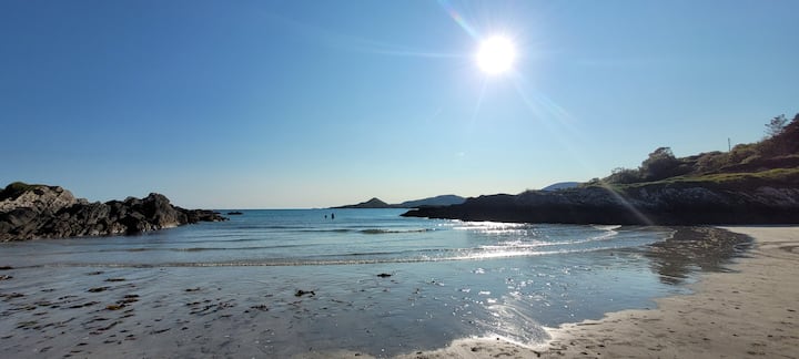
 St. Brendans WellHoly well · 1037 yd
 Church in Cill Ura ThoirChurch · 1221 yd
 Cruach MhárthainMountain / peak · 1.1 mi
 Church in Gleann LoicChurch · 1.2 mi
 Sliabh an IolairMountain / peak · 1.4 mi
 Rahinnane Castle (in ruins)Castle, tower house · 1.5 mi
 St Brendan's WellSpring · 1.9 mi
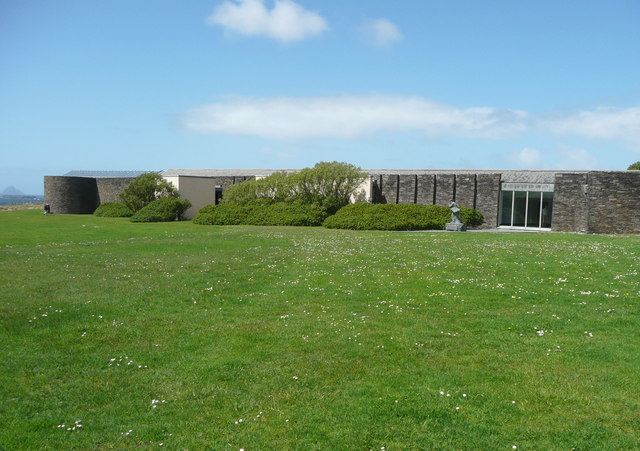 Ionad an Bhlascaoid MhóirMuseum · 1.9 mi
 Irish Famine CottagesMuseum · 2.1 mi
 Dún BinneHeadland · 2.1 mi
 Faill BearnaiscCliff · 2.3 mi