What is recorded here
Fairy fort / earthen ringfort in Colgagh is a fairy fort or earthen ringfort in Colgagh, County Sligo, Ireland. The circular site occupies the summit of a broad east-west ridge in wet pasture. A low bank of earth and stone surrounds the raised area, while a shallow fosse runs along its external foot. A disused quarry now occupies a removed section at the northeast, and livestock have created small breaks at the southwest and northwest.
Situated on summit of a very broad E-W orientated ridge, in wet pasture. Circular raised area (diam. 26m) enclosed by a low broad bank of earth and stone (Wth 3.35m; int. H 0.3m). Immediately at the external foot of the bank is a shallow fosse (Wth 3.85m; D 0.3m). A small section of the bank has been removed at NE and is now occupied by a now disused quarry. From ESE-E the fosse is almost completely in-filled but is clearly visible. A break (Wth 3m) in the bank at E, with traces of a causeway across the fosse at E, marks the position of the original entrance. There are small livestock breaks through the bank at SW and at NW.
Compiled by: Patrick F. O'Donovan
Date of upload: 21 April 2011
This remains an important historical record, but the official description says the monument is no longer visible or has been destroyed. The monument record does not grant public access. Check the route and ask the landowner before entering private land.
- What survives
- No visible remains or recorded as destroyed
Places near here
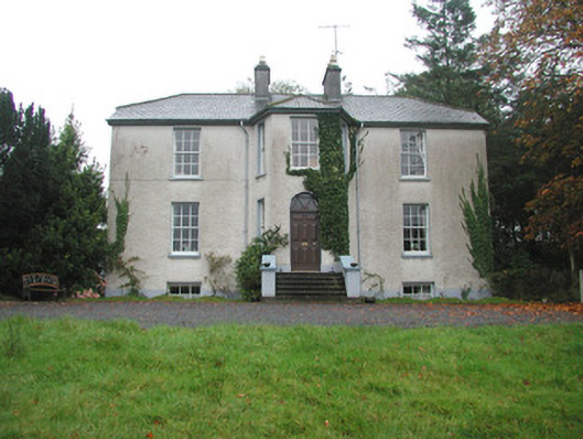 Colgagh Househouse · 511 yd
 LisgoreyFairy fort / earthen ringfort · 712 yd
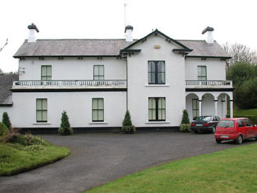 Ballyglass Househouse · 1351 yd
 Enclosure in WillowbrookEnclosure · 1.0 mi
 Court Tomb TrailWalking route · 1.4 mi
 Legganore BayBay · 1.8 mi
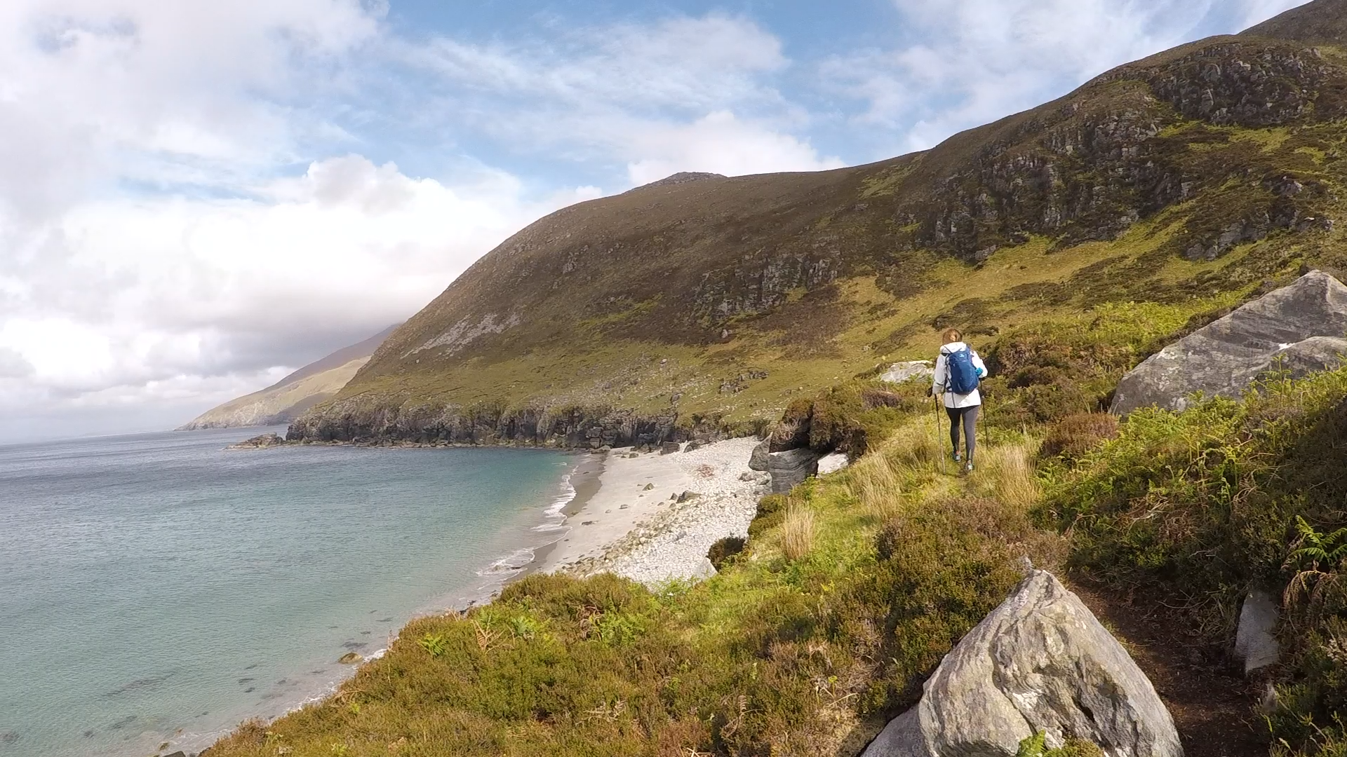 Annagh BayBay · 1.8 mi
 Annagh IslandIsland · 1.9 mi
 European BeechEuropean Beech · 2.0 mi
 Castle PointCastle, unclassified · 2.1 mi
 HazelwoodWood · 2.2 mi
 Swan IslandIslet · 2.2 mi