What is recorded here
Half-buried under centuries of soil and shadow, the ringfort in Coillín An Léana still holds its shape on the hillock summit. A degraded scarp marks the edge of a subcircular space twenty-four metres across, wide enough for a small household or a dozen people standing shoulder to shoulder. The earth has forgotten most of what was built there, but the boundary remains visible through pasture and woodland, waiting for someone to walk its rim and imagine the lives that turned it into a home.
On the summit of a hillock in hilly pasture and woodland. Poorly preserved subcircular rath (E-W 24m, N-S 21m) defined by a degraded scarp.
The above description is derived from the published 'Archaeological Inventory of County Galway Vol. I - West Galway'. Compiled by Paul Gosling (Dublin: Stationery Office, 1993).
Date of upload: 05 August 2010
The monument record does not grant public access. Check the route and ask the landowner before entering private land.
- What survives
- Recorded monument
Places near here
 Enclosure in Tobar BioróigeEnclosure · 771 yd
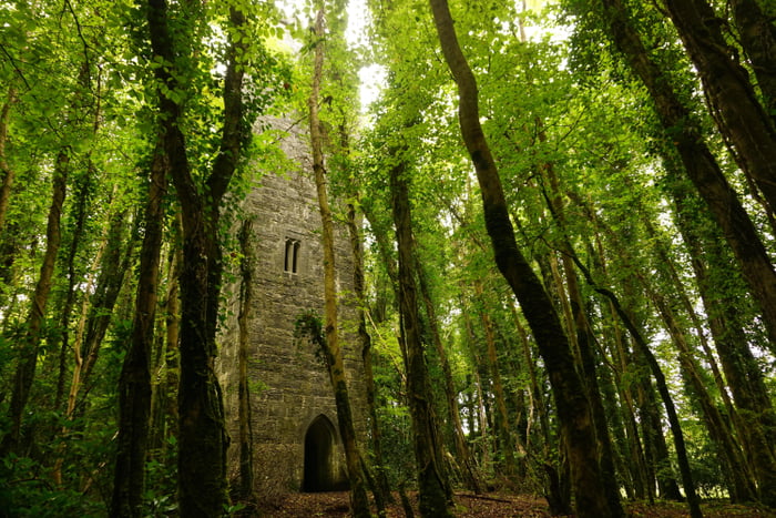 Ard na Gaoithe WoodsForest · 1043 yd
 Fulacht fia in An Cheathrú BhánFulacht fia · 1093 yd
 Golden BayBay · 1369 yd
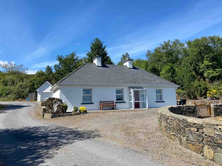 Breandrum HouseHouse, 18th/19th century · 1587 yd
 Ard na GaoitheHeritage attraction · 1672 yd
 The Old Schoolschool · 1.0 mi
 Cong WoodsWood · 1.1 mi
 School of FalconryHeritage attraction · 1.2 mi
 ArdoileánIslet · 1.2 mi
 Oileán na nAnamIslet · 1.4 mi
 TonacashlanCastle, unclassified · 1.4 mi