What is recorded here
Coarha Beg held a fairy fort above Portmagee Channel until men erased it in the 1940s. Only a seventeen-metre bank remains, curving east like a forgotten sentence. It may be a field boundary, or it may be the last breath of a house that refused to leave the horizon.
Local information records that a 'liss' at this location was removed in the 1940s. Its position is marked by a low bank, running N-S for a distance of 17m and curving towards E at its S end. This bank may, however, merely represent an old field boundary. The site is not marked on the OS maps, and was located on a level shoulder of land overlooking Portmagee Channel to S.
The above description is derived from A. O'Sullivan and J. Sheehan (compilers), 'The Iveragh peninsula: an archaeological survey of South Kerry'. Cork University Press (1996), no. 653. In certain instances the entries have been revised and updated in the light of recent research.
Date of upload: 29 July 2013
The monument record does not grant public access. Check the route and ask the landowner before entering private land.
- What survives
- Recorded monument
Places near here
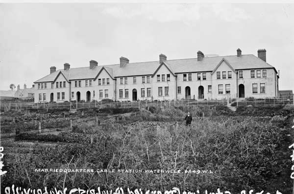 Anglo American Cable House, Telegraph FieldMonument · 456 yd
 Telegraph Field Valentia IslandMemorial · 547 yd
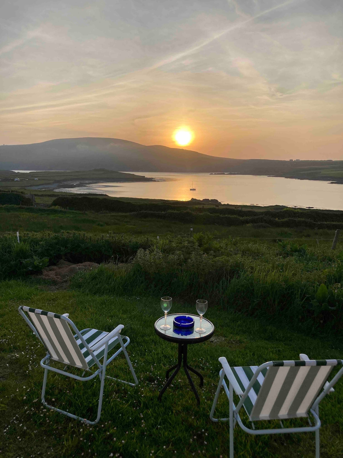 Hut site in Coarha BegHut site · 582 yd
 Cromwell's FortRuins · 725 yd
 Old Watch TowerRuins · 813 yd
 Skellig Experience CentreMuseum · 1354 yd
 Horse IslandIslet · 1.1 mi
 Long IslandIslet · 1.4 mi
 Culloo RockViewpoint · 1.4 mi
 Bray HeadMountain / peak · 1.6 mi
 Fogher CliffCliff · 2.3 mi
 GeokaunMountain / peak · 2.5 mi