What is recorded here
Mortarless walls and hidden chambers still mark the Coad fort, although age and purpose have faded from human memory. It stands above Kenmare Bay with a broken stone causeway, a narrow trench, and a tight room of upright slabs beside the bank. People may have lived, hidden, or worshipped there before the land was measured, but no name or date remains to prove which.
Internal diam. 32.45m N-S, 26.75m E-W. This subcircular univallate rath is located in a prominent position on the lower SE slopes of Coad mountain, overlooking Kenmare Bay to S. Its well-preserved bank is composed of earth and gravel and is intermittently revetted with drystone facing, now much collapsed, along its inner flank. Short stretches of this facing at N and SE consist of block-like slabs set in rough courses and offset to form a step, .6m high. The bank has an internal height of 1.75m at E, while at S it is almost flush with the level of the rath's interior. It averages 7m in basal width and steeply falls 5m to the flat-bottomed fosse below. This fosse contains a tangled mass of undergrowth and measures c. 3m wide at base and 1.1m deep below external ground level. It has been largely infilled at S, and modern field boundaries skirt most of its outer edge. A causeway, 4.15m long and 1.65m wide, crosses the fosse at E and leads to an entrance gap which is drystone-faced and features some very large basal blocks.
A spread of loose stones in the centre of the rath, 13m x 10m, may indicate the remains of a structure (KE106-033001-). Abutting the inner face of the bank at N is a semicircular arrangement of stone, possibly the foundations of a hut. It measures 5.4m x 4m and features some upright slabs. A Man-made underground passage was discovered in this fort in 1995 (KE106-033002-).
The above description is derived from A. O'Sullivan and J. Sheehan (compilers), 'The Iveragh peninsula: an archaeological survey of South Kerry'. Cork University Press (1996), no. 489. In certain instances the entries have been revised and updated in the light of recent research.
Updated by: Paul Walsh
Date of upload: 13 October 2014
The monument record does not grant public access. Check the route and ask the landowner before entering private land.
- What survives
- Recorded monument
Places near here
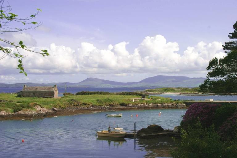 Man-made underground passage in CoadMan-made underground passage · 1 yd
 Old TreeRitual site, holy tree/bush · 203 yd
 Kilcrohane Church (in ruins)Church · 228 yd
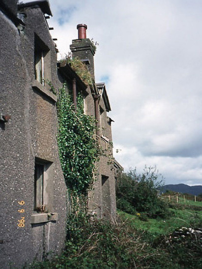 coastguard stationcoastguard station · 1015 yd
 Castle Cove (in Ruins)Castle, tower house · 1733 yd
 Reen BeachBeach / strand · 1.2 mi
 Eagles HillMountain / peak · 1.5 mi
 Trá an Ghleanna Bhig / Glanbeg BeachBeach / strand · 1.7 mi
 Cnoc na StéigeMountain / peak · 1.9 mi
 Ogham StoneVisitor information · 2.9 mi
 2Cliff · 3.0 mi
 IllaundraneIslet · 3.2 mi