What is recorded here
You need to find the hidden story about Coad and the forgotten fort.
On a high, flat rise in undulating pastureland. Hachured as a circular feature on the 1842 and 1920 eds. of the OS 6-inch map. Hachured as a subrectangular feature on the 1897 OS 25-inch plan. Listed as ‘Enclosure’ in the RMP (1996). This subrectangular rath (int. dims. 23.6m WNW-ESE; 21.1m NNE-SSW; ext. dims. 33.3m WNW-ESE; 29.2m NNE-SSW) is defined by a bank (Wth 3.7-5.8m; int. H 0.3-0.4m; ext. H 0.1-0.6m). A possible grass-covered field bank extends NW from the NW corner of the rath, and may be cut by the garden of modern house. A modern field boundary extending NNW-SSE overlies the NE corner of the rath. A mid-19th century racecourse (CL017-202001-) ran N-S immediately to the W of this rath.
Compiled by: Mary Tunney and Conn Herriott
Date of upload: 19 July 2023
The monument record does not grant public access. Check the route and ask the landowner before entering private land.
- What survives
- Recorded monument
Places near here
 Coad Churchchurch/chapel · 236 yd
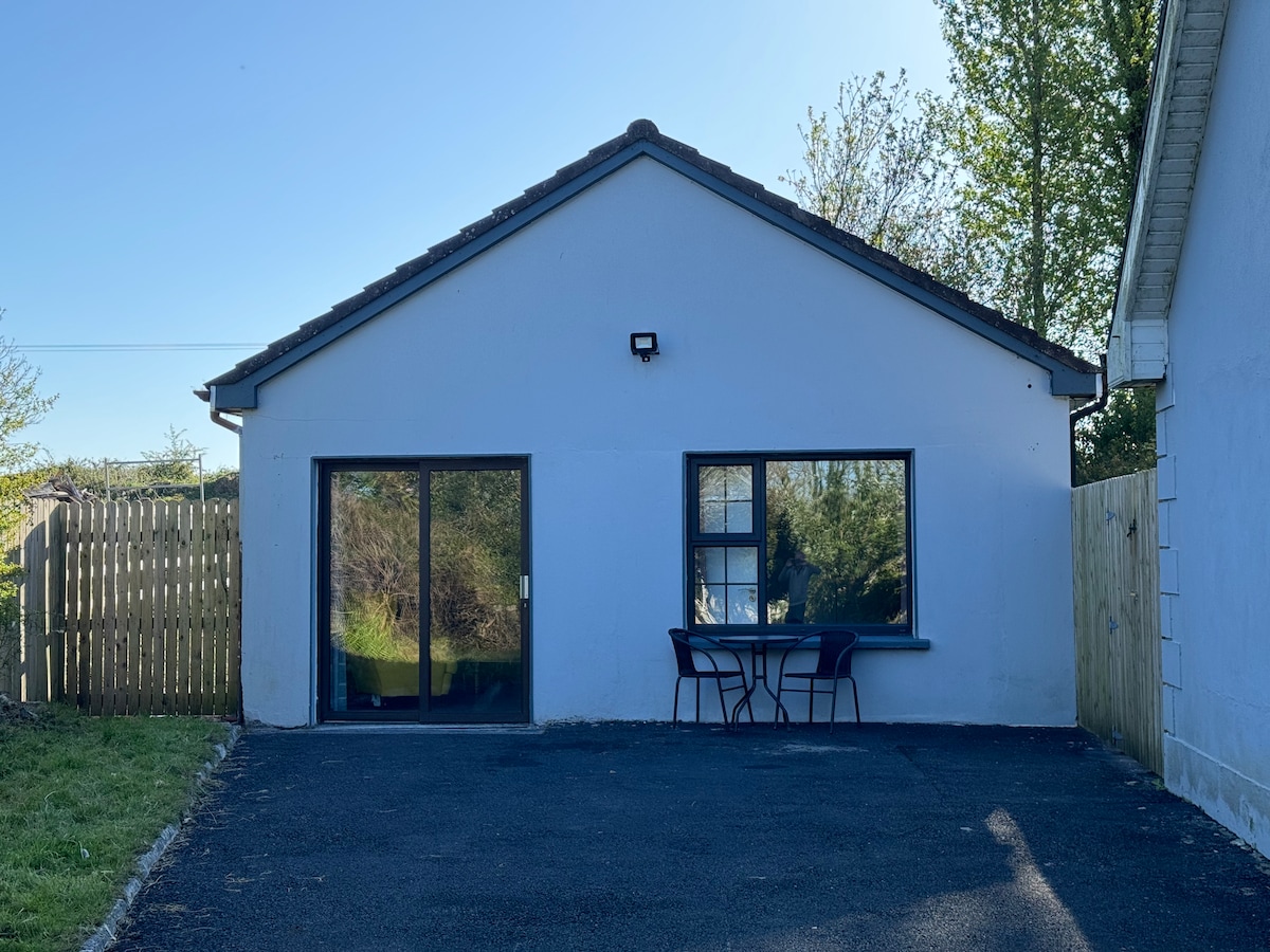 Enclosure in CoadEnclosure · 362 yd
 Enclosure in Commons SouthEnclosure · 568 yd
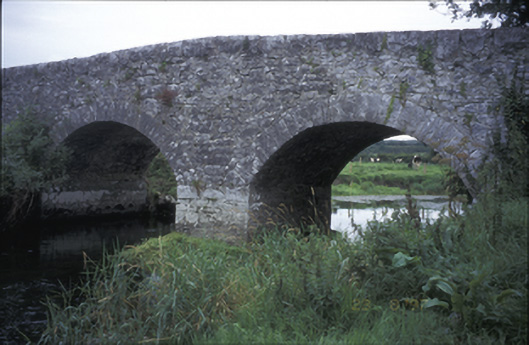 Poplar Bridgebridge · 653 yd
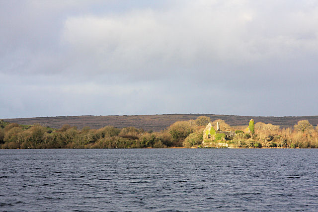 Inchiquin Castle (in ruins)Castle, tower house · 936 yd
 ‘De Clare’s House (in ruins)’ (1842 )Bawn · 961 yd
 Inchiquin IslandIslet · 1211 yd
 Rock IslandIsland · 1227 yd
 Fergus River CaveCave · 1.7 mi
 Battle of TullyodeaBattlefield · 3.4 mi
 Farbrega RockNamed rock · 3.9 mi
 Mullagh MoreMountain / peak · 4.5 mi