What is recorded here
Fairy fort in Clynan, County Longford: a raised subcircular area about 34m NNW-SSE and 32m ENE-WSW, enclosed by a low bank of earth and stone with an external fosse. It stands on a pasture rise, its steep scarp now caught in a field boundary, while the true entrance has disappeared from sight. A shallow depression lies just inside the south-west bank, waiting to be understood.
On a rise in pasture. A report in 1976 noted that this raised subcircular area (c. 34m NNW-SSE; c. 32m ENE-WSW) was enclosed by a low bank of earth and stone and an external fosse. A shallow depression, of unknown significance, was evident immediately inside the bank at SW. It is defined by a steep scarp (H 1-1.5m), which has been incorporated into a field boundary from ESE-S-N. The original entrance is not recognisable.
Compiled by: Patrick F. O'Donovan
Date of upload: 26 August 2011
The monument record does not grant public access. Check the route and ask the landowner before entering private land.
- What survives
- Recorded monument
Places near here
 Mound in ClynanMound · 551 yd
 Abbeyshrule AbbeyRuins · 860 yd
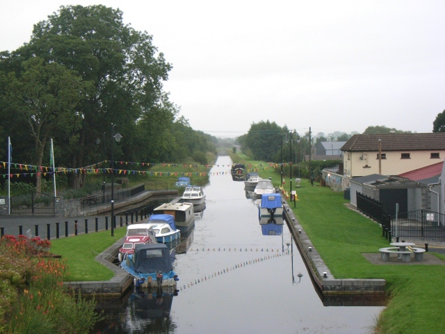 Abbeyshrule (in Ruins)Religious house, Cistercian monks · 887 yd
 Cross in AbbeyshruleCross · 953 yd
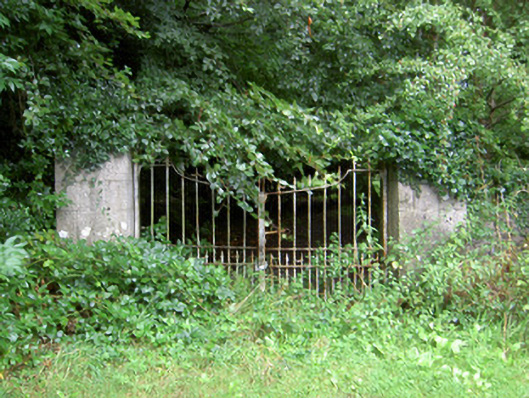 Clynan Housegates/railings/walls · 1023 yd
 Common LimeCommon Lime · 1129 yd
 Sessile OakSessile Oak · 1.6 mi
 Goldsmith Birthplace, PallasVisitor information · 1.8 mi
 Craft WorkshopHeritage attraction · 2.0 mi
 Guest ServicesVisitor information · 2.1 mi
 Not locatedCastle, unclassified · 2.9 mi
 Site of CastleCastle, unclassified · 3.3 mi