What is recorded here
No visible gate, no central chamber, no hearth mark. The fort is a shallow breath of earth, half forgotten by grass and time. Two rings on one slope, ninety metres apart, as if someone drew a circle, hesitated, then drew it again. The first ring may have held a family. The second may have held what the first family stopped wanting to remember.
On a gentle NE-facing slope. Poorly preserved subcircular rath (48.5m E-W; 45m N-S) defined by a bank and external fosse. The bank is visible from E through S to W; elsewhere a low scarp forms the enclosing element. The fosse survives from SE through S to W. A gap (Wth 3m) at NNE appears to be modern. Another rath (GA100-065----) lies c. 95m to the NE.
Compiled by: Galway Archaeological Survey, UCG
Date of upload: 29 November 2017
The monument record does not grant public access. Check the route and ask the landowner before entering private land.
- What survives
- Recorded monument
Places near here
 Enclosure in Ballymore UpperEnclosure · 682 yd
 Silver FirSilver Fir · 1037 yd
 Ballymore CastleCastle, tower house · 1105 yd
 TobermurryHoly well · 1130 yd
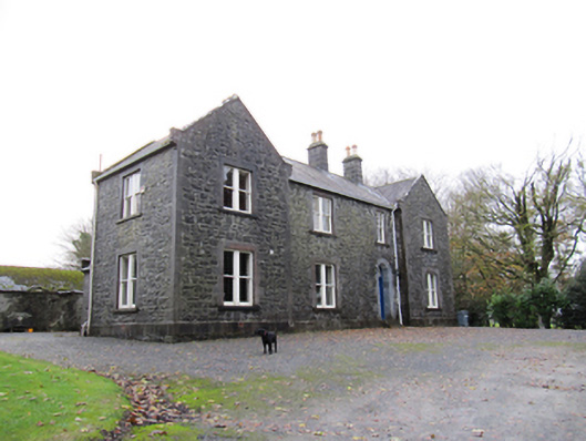 Redmount Hill Housefarm house · 1435 yd
 R.C. ChapelChurch · 1462 yd
 Redmond HillMountain / peak · 1.1 mi
 Oghil Castle (in ruins)Castle, tower house · 1.9 mi
 European ashEuropean ash · 3.0 mi
 Clonfert CathedralHeritage attraction · 4.7 mi
 MeelickVisitor information · 5.1 mi
 Killeen's IslandIsland · 5.1 mi