What is recorded here
Cloonykeevan holds a broken ring on a Galway rise, its earth bank and scarp still drawing an oval forty-three metres across despite quarrying and field boundaries cutting through the work. The shape is damaged enough to suggest human tools and time have taken their share, yet the remaining curve invites imagination about the people who lived inside or feared what the fort contained. A second rath waits ninety-five metres away, implying a neighbourhood rather than a lonely marker. Together they turn ordinary pasture into a place where memory has been partially erased but not forgotten.
On a rise in undulating pastureland. Poorly preserved subcircular rath (43m WNW-ESE; 36.5m
NNE-SSW) defined by a bank from SSE to SW; a scarp forms the enclosing element from SW through W to NE. A field boundary cuts through the monument at NE and SSE and no visible
surface trace of the enclosing element survives to E of it. Quarrying has encroached upon the monument at SW. Another rath (GA100-066----) lies c. 95m to the SW.
Compiled by: Galway Archaeological Survey, UCG
Date of upload: 29 November 2017
The monument record does not grant public access. Check the route and ask the landowner before entering private land.
- What survives
- Recorded monument
Places near here
 Enclosure in Ballymore UpperEnclosure · 809 yd
 Silver FirSilver Fir · 1055 yd
 TobermurryHoly well · 1099 yd
 Ballymore CastleCastle, tower house · 1130 yd
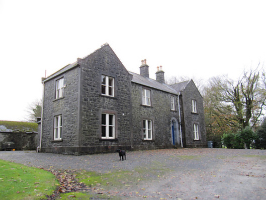 Redmount Hill Housefarm house · 1312 yd
 R.C. ChapelChurch · 1385 yd
 Redmond HillMountain / peak · 1.0 mi
 Oghil Castle (in ruins)Castle, tower house · 1.8 mi
 European ashEuropean ash · 2.9 mi
 Clonfert CathedralHeritage attraction · 4.6 mi
 MeelickVisitor information · 5.1 mi
 Killeen's IslandIsland · 5.1 mi