What is recorded here
Cloonty held a forty-metre earthen ring on a low rise, visible on maps until cattle traffic and human care erased it. The fairies kept their fort in legend while people removed the shape from the land. What remains is a flat pasture field, remembering only through absence.
On low rise, in undulating pasture. Monument, depicted as embanked circular enclosure (diam. c. 40m) on 1923 OS 6-inch map, has been levelled. No trace of monument evident when inspected. Area of site heavily poached by cattle.
Compiled by: Denis Power
Date of upload: 26 August 2011
The monument record does not grant public access. Check the route and ask the landowner before entering private land.
- What survives
- Recorded monument
Places near here
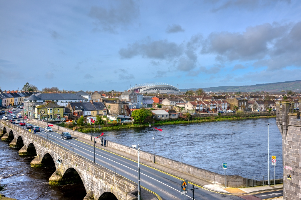 KnockourhaArchaeological place · 900 yd
 Fulacht fia in CloonyclohassyFulacht fia · 911 yd
 Castle (Site of)Castle, unclassified · 1552 yd
 Waterpark Housecountry house · 1654 yd
 Shanid Castle (in ruins)Castle, Anglo-Norman masonry castle · 1.2 mi
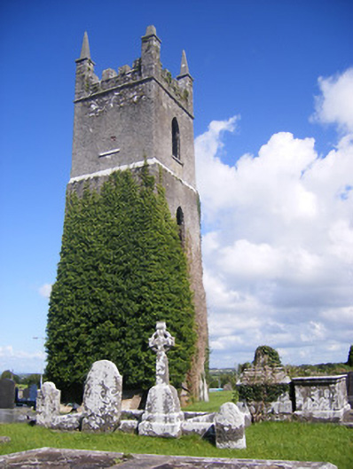 Shanagolden Churchchurch/chapel · 1.4 mi
 Monterey CypressMonterey Cypress · 2.8 mi
 Foynes Flying Boat & Maritime MuseumMuseum · 3.2 mi
 Foynes Island ViewpointViewpoint · 3.3 mi
 Gammarel PointHeadland · 3.7 mi
 Battery PointHeadland · 3.8 mi
 Foynes IslandIsland · 3.9 mi