What is recorded here
Fairy fort in Cloonty, County Limerick: an oval earthen ring, 24.8 metres north-south and 18.5 metres east-west, with a waterlogged fosse outside and a marshy pasture interior. People may have lived there before the field boundary cut across it, or the fairies may have taken the back room and left the front for humans. The bank still stands higher on the north-east, as if arguing with the rain about who owns the ground.
In marshy pasture, on SSE-facing slope. Oval area (24.8m N-S; 18.5m E-W) enclosed by earthen bank (int. H 1.25m; ext. H 1.8m) with external waterlogged fosse (D 0.6m; Wth 1.8). Bank best preserved at NE; slight dip in bank at SE (Wth 1.4). Enclosure is crossed by field boundary (H 1m) as a chord across interior ENE->WNW. Low earthen bank (H 0.3m) extends from enclosing bank to S for c. 20m before fading out. Level interior is under pasture N of field boundary but covered by dense overgrowth S of it.
Compiled by: Denis Power
Date of upload: 26 August 2011
The monument record does not grant public access. Check the route and ask the landowner before entering private land.
- What survives
- Recorded monument
Places near here
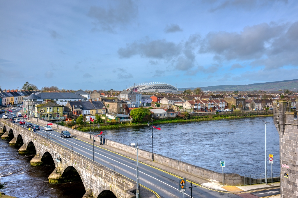 KnockourhaArchaeological place · 573 yd
 Fulacht fia in CloonyclohassyFulacht fia · 642 yd
 Castle (Site of)Castle, unclassified · 1164 yd
 Waterpark Housecountry house · 1264 yd
 Shanid Castle (in ruins)Castle, Anglo-Norman masonry castle · 1677 yd
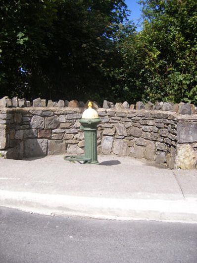 water pumpwater pump · 1.1 mi
 Monterey CypressMonterey Cypress · 3.0 mi
 Foynes Flying Boat & Maritime MuseumMuseum · 3.3 mi
 Foynes Island ViewpointViewpoint · 3.4 mi
 Gammarel PointHeadland · 3.8 mi
 Battery PointHeadland · 3.9 mi
 Foynes IslandIsland · 3.9 mi