What is recorded here
Cloonty holds a broken fairy fort where a sharp scarped edge still cuts the grass, marking the southern boundary of a circular space once large enough for human life. The fort has lost much of its bank to time and likely ploughs, yet the remaining ridge preserves the shape of a place people defended or enclosed. It is no longer a complete wall, but the ground still records the decision to draw a line around themselves.
In undulating pasture, on gentle N-facing slope. Monument, depicted as an embanked circular enclosure on 1841 OS 6-inch map, has been partially levelled. However, it is still apparent as a circular area (26m N-S; 26m E-W) defined S->SE by a scarped edge (H 1m; Wth 6m); no enclosing element evident SE->S. Interior level and entire site is under grass.
Compiled by: Denis Power
Date of upload: 26 August 2011
The monument record does not grant public access. Check the route and ask the landowner before entering private land.
- What survives
- Recorded monument
Places near here
 Fulacht fia in CloonyclohassyFulacht fia · 1110 yd
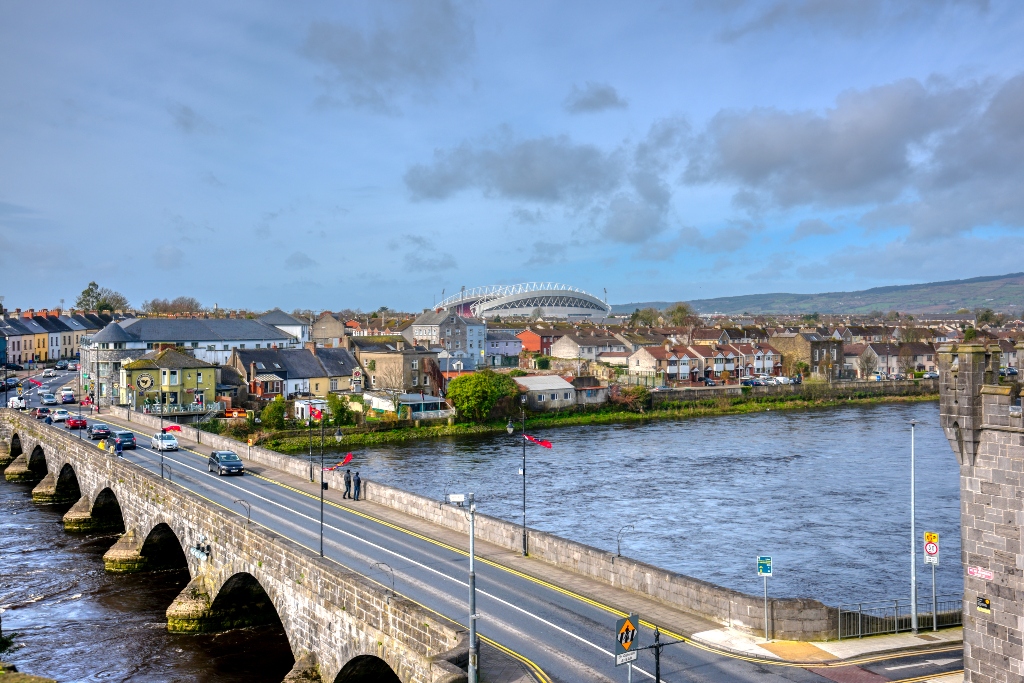 KnockourhaArchaeological place · 1113 yd
 Castle (Site of)Castle, unclassified · 1757 yd
 Waterpark Housecountry house · 1.1 mi
 Shanid Castle (in ruins)Castle, Anglo-Norman masonry castle · 1.3 mi
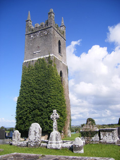 Shanagolden Churchchurch/chapel · 1.5 mi
 Monterey CypressMonterey Cypress · 2.7 mi
 Foynes Flying Boat & Maritime MuseumMuseum · 3.2 mi
 Foynes Island ViewpointViewpoint · 3.3 mi
 Gammarel PointHeadland · 3.7 mi
 Battery PointHeadland · 3.8 mi
 Foynes IslandIsland · 3.8 mi