What is recorded here
Fairy fort / earthen ringfort in Cloontuskert is a fairy fort or earthen ringfort in Cloontuskert, County Roscommon, Ireland. It occupies a low-lying position on a slight north-facing slope in the flood-plain of the River Shannon. An overgrown circular area about thirty metres across contains an earthen bank five and a half metres wide and an outer fosse two point two metres wide at its base. The perimeter is damaged from the southeast to south, and no original entrance remains identifiable.
In a low-lying position on a slight N-facing slope in the flood-plain of the River Shannon. Overgrown circular area (diam. c. 30m) defined by an earthen bank (Wth 5.5m; int. H 0.6m; ext. H 1.3m) and outer fosse (Wth of base 2.2m; D 0.7m) S-W-NE, which has been reduced to a scarp (H 1m) NE-SE. The perimeter is damaged SE-S, and there is no identifiable original entrance.
Compiled by: Michael Moore
Date of upload: 24 August 2010
The monument record does not grant public access. Check the route and ask the landowner before entering private land.
- What survives
- Recorded monument
Places near here
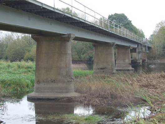 bridgebridge · 1609 yd
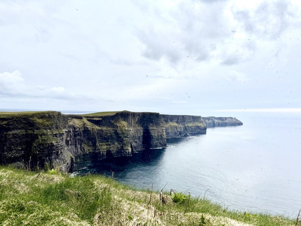 IndicatedFairy fort / earthen ringfort · 1.5 mi
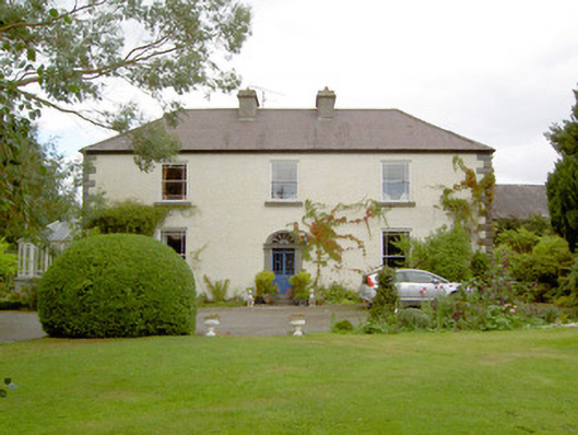 Cloonbony Househouse · 1.8 mi
 Commons North WalkVisitor information · 2.1 mi
 Wild birdsVisitor information · 2.4 mi
 Ballyclare IslandIslet · 2.5 mi
 Slieve BawnMountain / peak · 2.9 mi
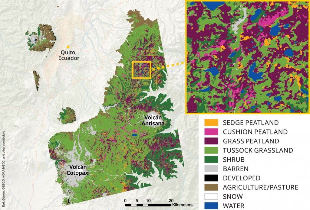 StructureStructure, peatland · 3.0 mi
 White Sand WoodWood · 3.0 mi
 Doughill ForestForest · 3.2 mi
 Rathcline CastleBawn · 3.3 mi
 FerrinchIslet · 4.2 mi