What is recorded here
Cloonteen holds a subcircular rath thirty-three metres wide on a lonely rise, its earth bank still defining most of the circle while the south face has been quarried away. The southeast entrance remains open to the grassland, inviting people into a space where human hands shaped the soil long before modern memory. What was taken from the south may have been needed to build elsewhere, but the majority of the ring endures.
On a rise in otherwise level grassland. Subcircular rath (E-W 33m, N-S 28.6m), in fair condition, defined by a bank and external fosse. The bank survives from SSW to NW; elsewhere a scarp forms the enclosing element. The S sector of the monument has been quarried out. There is an entrance at SE.
The above description is derived from the published 'Archaeological Inventory of County Galway Vol. II - North Galway'. Compiled by Olive Alcock, Kathy de hÓra and Paul Gosling (Dublin: Stationery Office, 1999).
Date of upload: 05 August 2010
The monument record does not grant public access. Check the route and ask the landowner before entering private land.
- What survives
- Recorded monument
Places near here
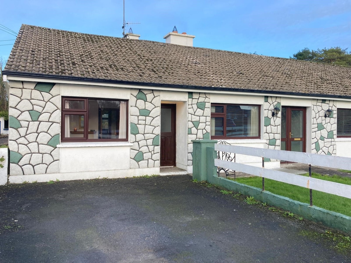 Enclosure in Cloonteen (dunmore By.)Enclosure · 235 yd
 CahermoreArchaeological place · 958 yd
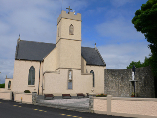 Saint Conleth's Catholic Churchchurch/chapel · 1655 yd
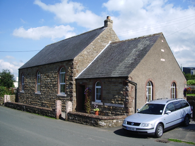 Old R.C. ChapelChapel · 1681 yd
 Bawn in BlindwellBawn · 1.4 mi
 CastleCastle, tower house · 1.9 mi
 European YewEuropean Yew · 3.1 mi
 Mass RockNamed rock · 3.3 mi
 Pesooge PlantationForest · 3.9 mi
 Kilcoona Round TowerHeritage attraction · 8.5 mi
 Walsh's IslandIslet · 11 mi
 Otter IslandIslet · 11 mi