What is recorded here
No fairies are recorded there, only a solid earth bank sixty centimetres above the inside ground and a shallow ditch beside it. The fort measures twenty metres one way and twenty-nine the other, fitting a small household rather than a grand castle. It sits at a field corner beside Crotta, where ordinary people likely lived, worked and left the earth standing long after they vanished.
Internal diameter 20m NW-SE, 29m NE-SW
This univallate rath is situated in a corner of a field, The fieldbank to the S is the townland boundary between this townland and Crotta. The site consists of a sub-circular area enclosed by a well-defined earthen bank. Traces of an exterior fosse can be noted to the N through E to S, but it is not distinguishable elsewhere due to the erection of fieldbanks. The enclosing bank is c 6m wide at the base and rises to a maximum of 1.4m externally and .6m above the interior. The external fosse which survives is c 4m wide and c .3m below the height of the surrounding land.
The above description is derived from C. Toal, ‘North Kerry Archaeological Survey’. Dingle. Brandon in association with FAS Training and Employment Authority (1995), no. 542. In certain instances the entries have been revised and updated in the light of recent research.
Date of upload: 2 August 2013
The monument record does not grant public access. Check the route and ask the landowner before entering private land.
- What survives
- Recorded monument
Places near here
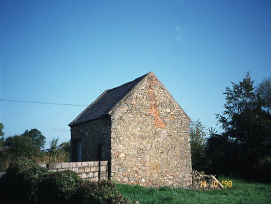 Crotta Housegate lodge · 335 yd
 Fulacht fia in AghacooraFulacht fia · 1321 yd
 Enclosure in Liscullane (clanmaurice By., Kilcaragh Par.)Enclosure · 1481 yd
 Saint Mary's Catholic Churchchurch/chapel · 1.5 mi
 Kilflynn Nature ReserveNature reserve · 1.7 mi
 CastleCastle, Anglo-Norman masonry castle · 2.0 mi
 Ballymacaquinn Castle (remains of)Castle · 4.1 mi
 Stack's MountainMountain / peak · 4.1 mi
 CruslineMountain / peak · 4.3 mi
 Tobar na MoltSpring · 5.7 mi
 Ardfert Franciscan FriaryVisitor information · 7.0 mi
 Ardfert FriaryVisitor information · 7.0 mi