What is recorded here
Cloonreask holds a broken ring where a solid fort once stood. The eastern scarped edge and shallow ditch still mark the curve, but quarrying and ploughing have consumed the western half. The fairies kept what they wanted and gave the rest back to grass.
In level pasture. Monument, depicted as embanked circular enclosure (diam. c. 30m) on 1841 OS 6-inch map, is now dissected by N-S field boundary. On E side of field boundary is D-shaped area (30m N-S; 10.4m E-W) defined N->S by scarped edge (H 0.65m; Wth 3m), with external fosse (D 0.4m; Wth c. 4m) NE->S. Enclosing element has been damaged by shallow quarrying N->NE. Level interior under pasture. No trace of monument is evident on W side of field boundary.
Compiled by: Denis Power
Date of upload: 26 August 2011
The monument record does not grant public access. Check the route and ask the landowner before entering private land.
- What survives
- Recorded monument
Places near here
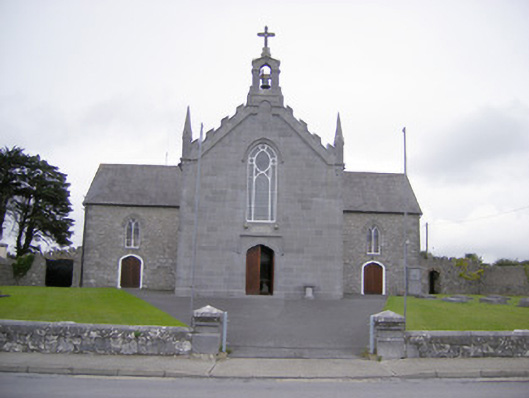 Saint Mary's Catholic Churchchurch/chapel · 690 yd
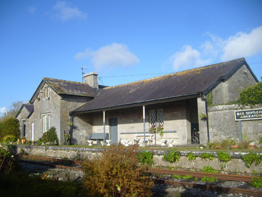 Askeaton Railway Stationrailway station, water tower, water pump · 816 yd
 Askeaton CastleHeritage attraction · 1135 yd
 Fulacht fia in BaunreaghFulacht fia · 1228 yd
 AskeatonHistoric town · 1230 yd
 Tomdeely CastleCastle · 1.4 mi
 Lismakeery Castle (in ruins)Castle, tower house · 1.4 mi
 Holly IslandIslet · 1.7 mi
 Greenish IslandIslet · 2.6 mi
 Courtbrown PointHeadland · 3.0 mi
 Herring RockNamed rock · 3.6 mi
 Curraghchase Forest ParkForest · 4.8 mi