What is recorded here
Half-hidden in blackthorn and hazel, the Cloonmeen West ringfort keeps its circle intact beneath a slumped earthen scarps. The western base has been absorbed into a later field fence, but the eastern slope still rises a metre and a quarter above the ground. A person who walked there before the conifers closed would have found a made place, not a mound of accident. The fort still holds its shape because someone built it to hold.
In a dense thicket of blackthorn and hazel, surrounded by coniferous plantation.
Overgrowth impeded inspection of this rath. It consists of a raised circular area or platform (diam. c. 20m) defined by a broadly slumped, earthen scarp (Wth slope 3m at E, 3.8m at SW; H 1.2m at E, 0.75m at SW). The base of the slope on the W half is incorporated into a later field fence.
Compiled by: Jane O'Shaughnessy
Date of upload: 7 July 2020
The monument record does not grant public access. Check the route and ask the landowner before entering private land.
- What survives
- Recorded monument
Places near here
 IndicatedEnclosure · 525 yd
 Enclosure in Lavy MoreEnclosure · 1015 yd
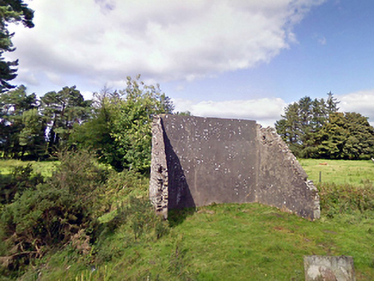 handball alleyhandball alley · 1.2 mi
 Cloonfane National Schoolschool · 1.5 mi
 Old Cave Burial GroundArchaeological place · 3.5 mi
 Bockagh HillMountain / peak · 6.1 mi
 Casatle (ruins)Castle, unclassified · 7.4 mi
 East Mayo Brigade MonumentMemorial · 7.7 mi
 Crunaun Castle (in ruins)Castle, unclassified · 7.8 mi
 Thorn CaveCave · 10 mi
 Lough Talt TrailVisitor information · 11 mi
 Kiltimagh MuseumMuseum · 12 mi