What is recorded here
Cloonlusk holds a ruined ring forty-two metres wide, its double banks and central ditch still visible along the western ridge. People later quarried stone from the eastern and southern edges, breaking the circle to build elsewhere. The fairies may have watched human hands dismantle their own fort, turning ancient boundary into ordinary wall material.
On a ridge in otherwise level grassland. Poorly preserved circular rath (D 42.3m) defined by two banks and an intervening fosse, best preserved from SW through W to N. The monument has been quarried out at NE, SE and SW.
The above description is derived from the published 'Archaeological Inventory of County Galway Vol. II - North Galway'. Compiled by Olive Alcock, Kathy de hÓra and Paul Gosling (Dublin: Stationery Office, 1999).
Date of upload: 05 August 2010
The monument record does not grant public access. Check the route and ask the landowner before entering private land.
- What survives
- Recorded monument
Places near here
 Cloonlusk FortArchaeological place · 351 yd
 Cuilbeg FortFairy fort / stone ringfort · 1083 yd
 Cahergal Bridgebridge · 1372 yd
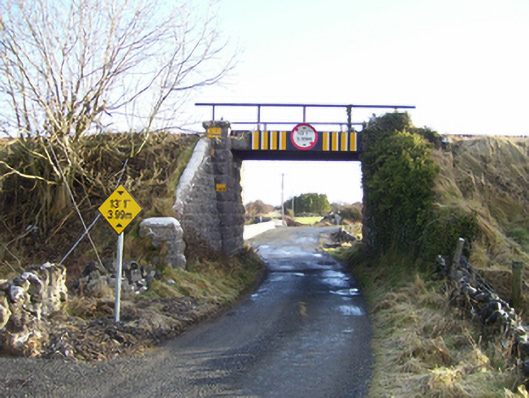 bridgebridge · 1.1 mi
 CastleCastle, unclassified · 1.5 mi
 Ballinderry CastleCastle, tower house · 1.9 mi
 Knockmoy AbbeyHeritage attraction · 2.6 mi
 Common WhitebeamCommon Whitebeam · 4.5 mi
 SycamoreSycamore · 4.6 mi
 Mass RockNamed rock · 7.3 mi
 Kilcoona Round TowerHeritage attraction · 10 mi
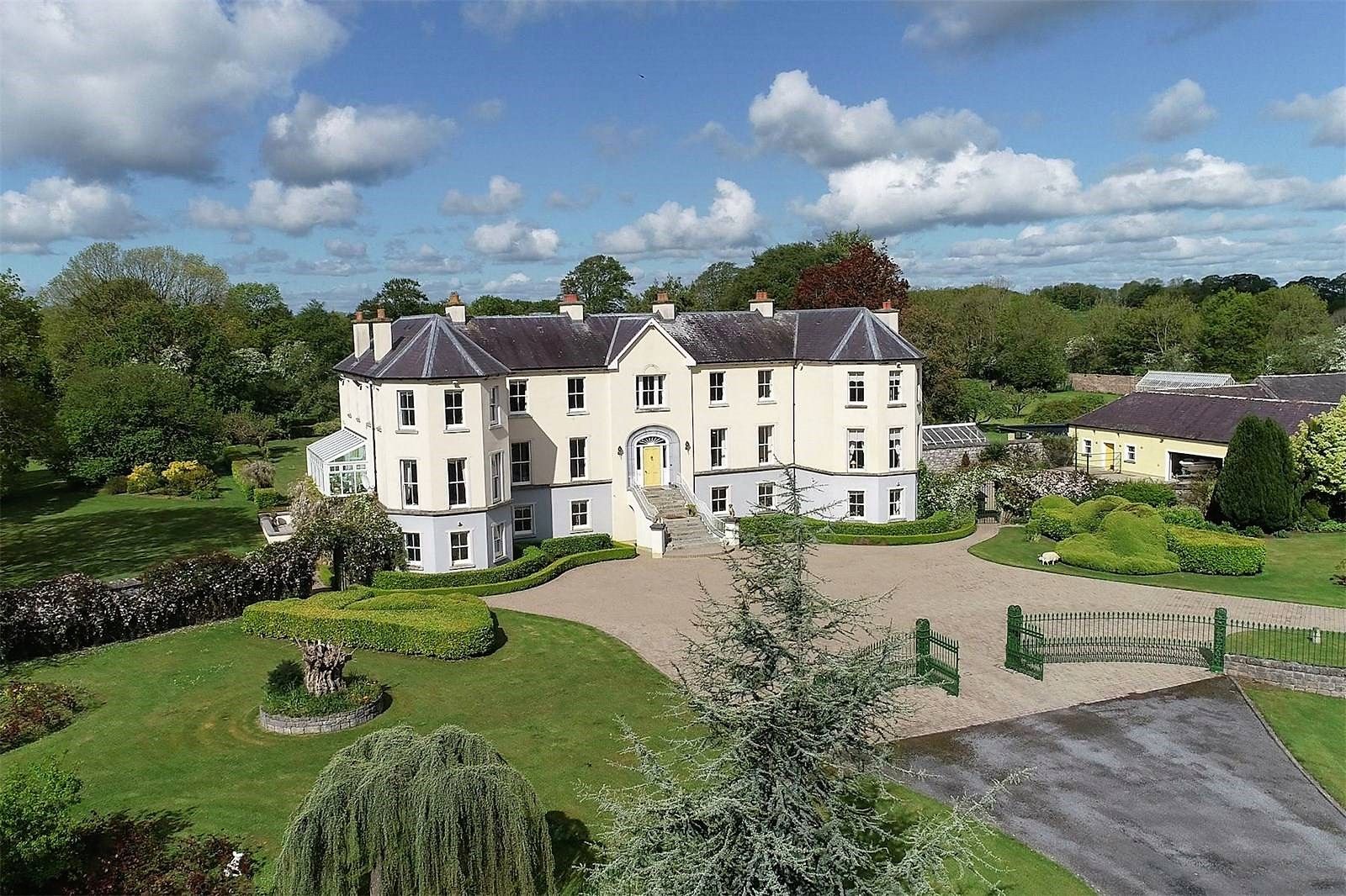 Lisherriddy FortFairy fort / earthen ringfort · 1.1 mi