What is recorded here
Fairy fort / earthen ringfort in Clooninisclin is a fairy fort or earthen ringfort in Clooninisclin, County Roscommon, Ireland. It occupies the crest at the north end of a northwest-southeast drumlin ridge as a circular grass-covered area measuring thirty-four metres north-south and thirty-two metres east-west. A scarp rising from zero point three to one point seven metres and a slight eight-metre-wide bank define most of the perimeter, while a northeast-southwest field wall truncates the southeast edge. No visible fosse or identifiable original entrance remains.
On the crest at the N end of a NW-SE drumlin ridge. Circular grass-covered area (diam. 34m N-S; 32m E-W) defined by a scarp (H 0.3m at N to 1.7m at S) SSE-W-NE with a slight bank (Wth 8m; int. H 0.1m; ext. H 0.4m) WSW-WNW. There is no visible fosse or identifiable original entrance and the perimeter is truncated slightly by a NE-SW field wall at SE.
Compiled by: Michael Moore
Date of upload: 24 August 2010
The monument record does not grant public access. Check the route and ask the landowner before entering private land.
- What survives
- Recorded monument
Places near here
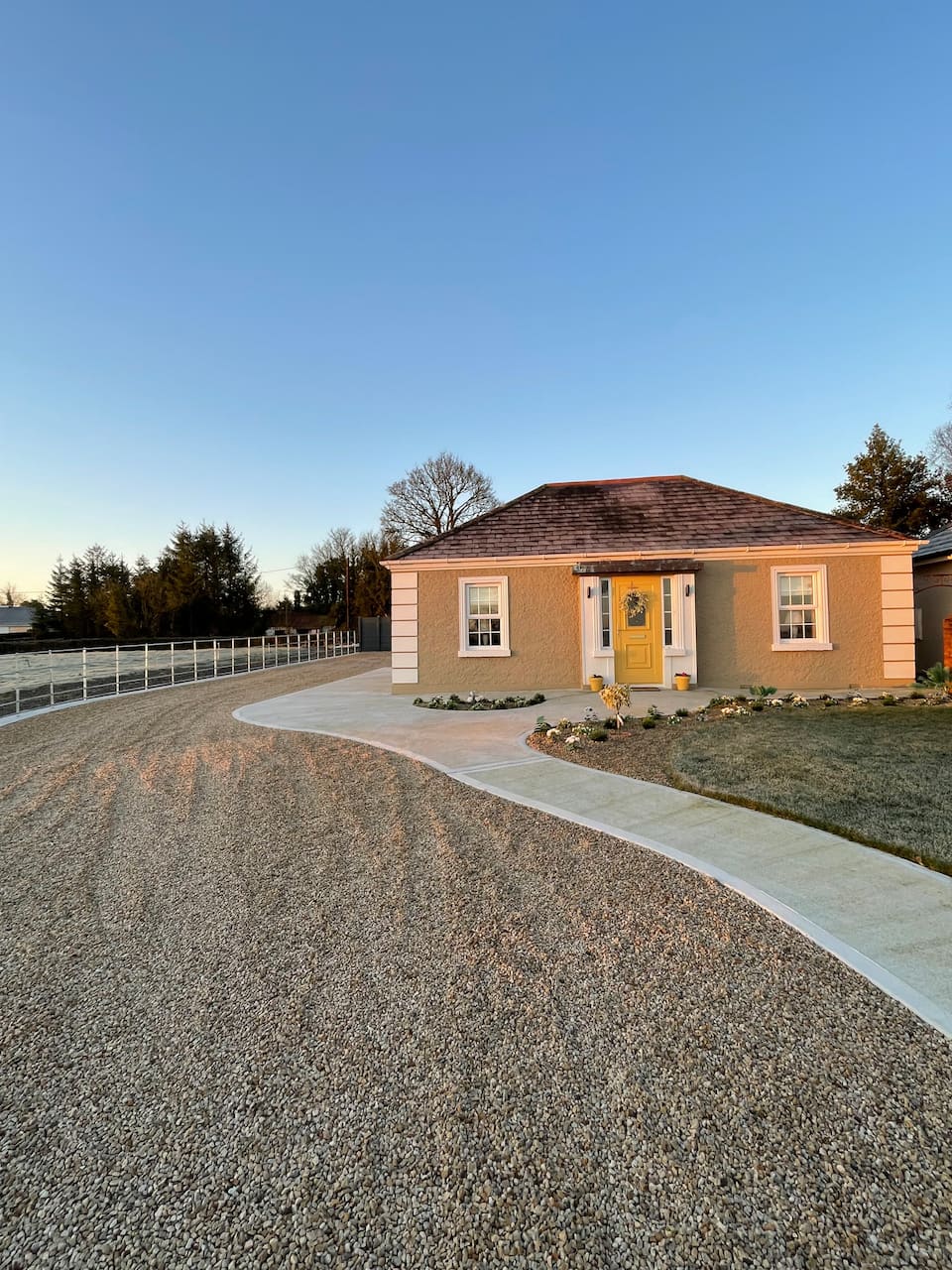 Embanked enclosureFairy fort / earthen ringfort · 765 yd
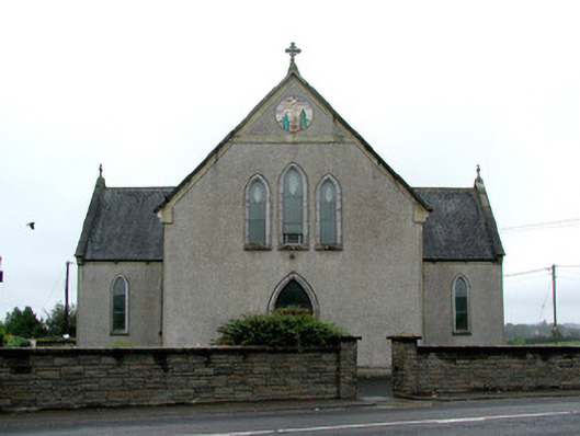 Catholic Church of the Immaculate Conceptionchurch/chapel · 1046 yd
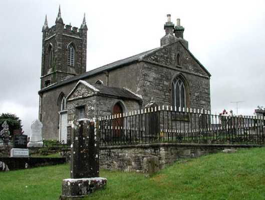 Kiltullagh Church (Kiltullagh)church/chapel · 1393 yd
 Enclosure in Mountain LowerEnclosure · 1.6 mi
 CastleCastle, unclassified · 2.4 mi
 Coolougher WoodForest · 2.9 mi
 Clonalis HouseMuseum · 5.3 mi
 Castle (in ruins)Castle, unclassified · 5.7 mi
 Slieve DartMountain / peak · 5.7 mi
 Site of Killomaine Grave YardArchaeological place · 9.0 mi
 East Mayo Brigade MonumentMemorial · 13 mi
 Crow IslandIslet · 17 mi