What is recorded here
Cloonee holds a broken oval ringfort where cattle still grind through its earthen walls. The scarped edge rises barely a metre above the pasture, but the gaps worn by hooves suggest the boundary never truly stopped them. Water collects in the southern ditch, feeding the grass that slopes down towards the centre. The fort has surrendered its shape to livestock and rain, yet it remains visible enough to mark the place where human hands first bent the land into a circle.
In level pasture. Oval area (18m N-S; 16m E-W) defined by scarped edge (H 1.1m; Wth 2m) with external fosse (D 0.4m; Wth 2m). Scarp is lined with trees. There are numerous gaps worn across scarp by cattle accessing interior. Fosse is waterlogged S->SW. Interior, which slopes gently down towards centre, is under pasture which is heavily poached by cattle.
Compiled by: Denis Power
Date of upload: 26 August 2011
The monument record does not grant public access. Check the route and ask the landowner before entering private land.
- What survives
- Recorded monument
Places near here
 Ballybane Bridgebridge · 1263 yd
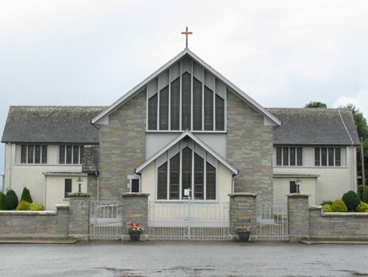 Saint Michael's Catholic Churchchurch/chapel · 1.2 mi
 Saint Derivla's WellSpring · 1.3 mi
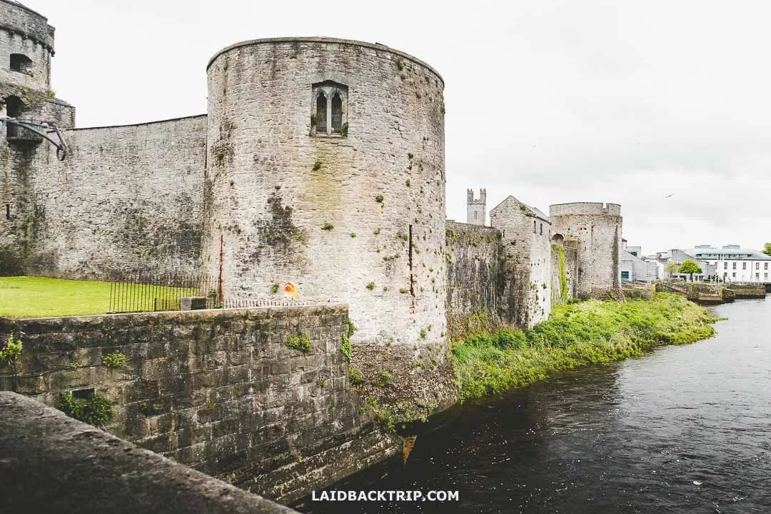 Cooreagh Fort - HachuredFairy fort / earthen ringfort · 1.3 mi
 Gobnet's FortArchaeological place · 1.4 mi
 Our Lady's WellSpring · 2.0 mi
 Castle (in ruins)Castle, hall-house · 2.0 mi
 IndicatedCastle, motte · 2.0 mi
 National Co-op MuseumMuseum · 5.6 mi
 KnockfeerinaMountain / peak · 5.8 mi
 Battle of LiscarrollMajor battlefield · 9.0 mi
 Ballagh MountainMountain / peak · 12 mi