What is recorded here
Cloonee holds a broken fairy fort where uprooted trees and new soil bury the old bank. The region still remembers that people built visible marks for love, warning or claim. To see the hole, measure the edge and record what remains is to continue that human habit of giving shape to experience.
In undulating pasture. Oval area (c. 15m N-S; c. 20m W-E) enclosed by earthen bank (int. H 0.4m; ext. H 0.4m) with barely perceptible external fosse (D c. 0.1m; Wth 1.6m); enclosing element is obscured N->NE by earthen material recently dumped atop it. Enclosing element and interior largely obscured by dense overgrowth of trees and bushes; uprooted tree roots are strewn over interior. Outer edge of fosse is truncated SE->W by field boundary travelling concentric with it. Interior surface damaged by shallow quarrying in E quadrant; in NW quadrant is oval depression (5m x 3m; D c. 0.4m).
Compiled by: Denis Power
Date of upload: 26 August 2011
The monument record does not grant public access. Check the route and ask the landowner before entering private land.
- What survives
- Recorded monument
Places near here
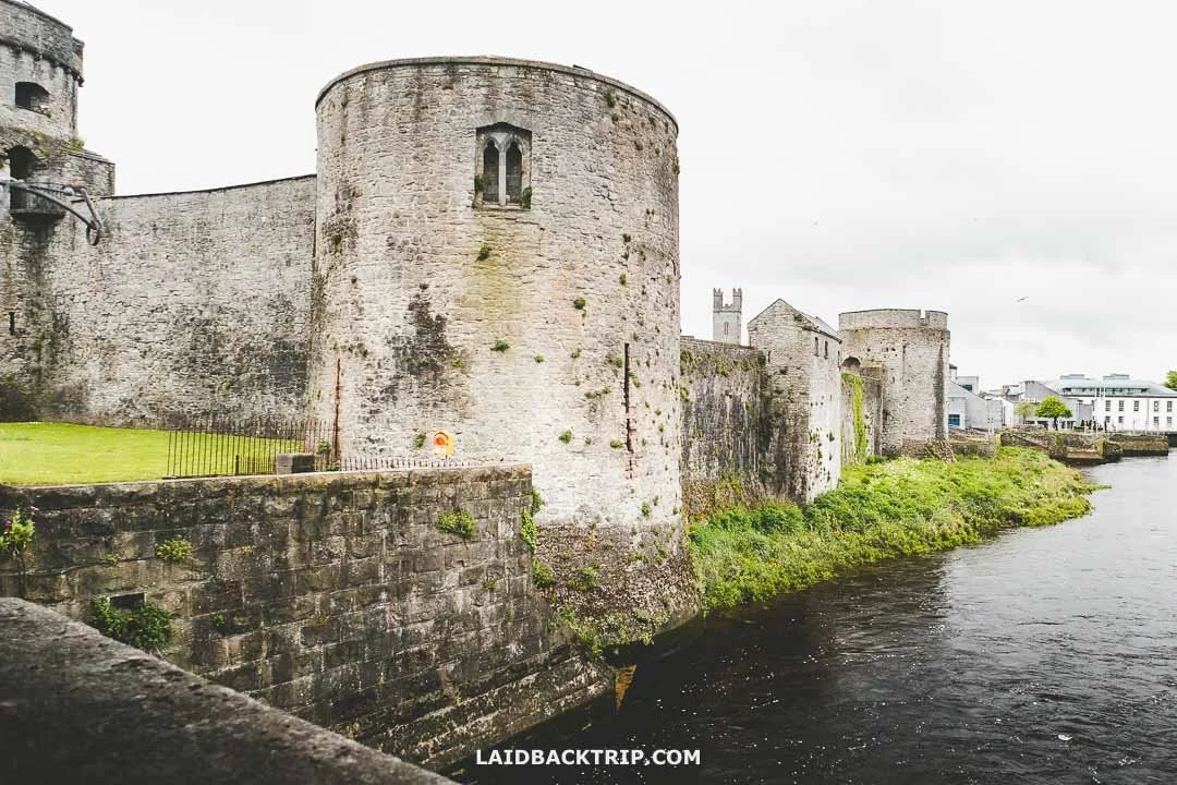 Cooreagh Fort - HachuredFairy fort / earthen ringfort · 785 yd
 Saint Derivla's WellSpring · 1058 yd
 Gobnet's FortArchaeological place · 1445 yd
 presbytery/parochial/curate's housepresbytery/parochial/curate's house · 1469 yd
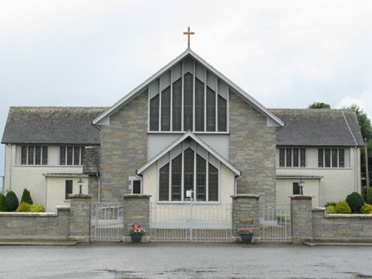 Saint Michael's Catholic Churchchurch/chapel · 1485 yd
 Our Lady's WellSpring · 1.1 mi
 Castle (in ruins)Castle, hall-house · 1.1 mi
 IndicatedCastle, motte · 1.2 mi
 KnockfeerinaMountain / peak · 4.9 mi
 Famine stoneMemorial · 5.0 mi
 National Co-op MuseumMuseum · 6.2 mi
 Battle of LiscarrollMajor battlefield · 9.9 mi