What is recorded here
Half a mile from the last road, a hidden ring of soil may still breathe beneath the barley. The fort has no name, no story, no witness. It is not lost, forgotten or dead. It is waiting to be known.
In tillage, on a NW-facing slope. A field boundary curving E-SW indicated on the 1900 OS 6-inch map may have enclosed or respected a levelled rath. The field boundary has been removed and the high crop in the field made inspection of this location impossible. A possible Man-made underground passage (CO121-107002-) is recorded in the general area of this possible rath.
The above description is derived from 'The Archaeological Inventory of County Cork. Volume 5' (Dublin: Stationery Office, 2009).
Date of upload: 22 December 2009
This remains an important historical record, but the official description says the monument is no longer visible or has been destroyed. The monument record does not grant public access. Check the route and ask the landowner before entering private land.
- What survives
- No visible remains or recorded as destroyed
Places near here
 Man-made underground passage in ClooncorbanMan-made underground passage · 10 yd
 Corn Mill, Tuck MillMilling complex · 765 yd
 Fahanacowley Castle (Site of)Castle, unclassified · 1123 yd
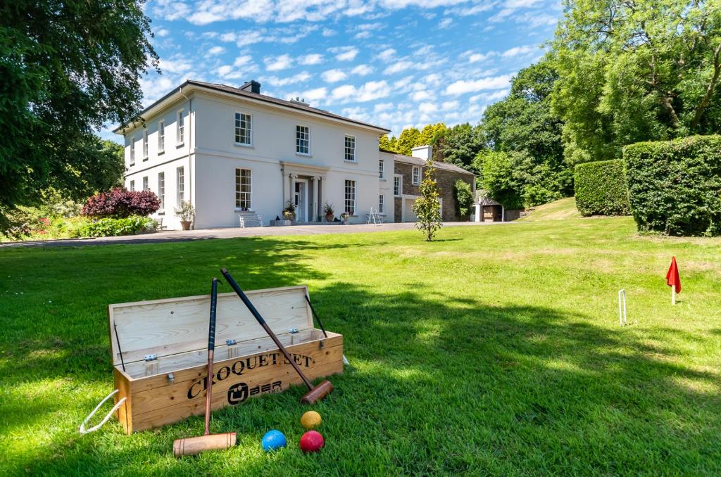 Country house in LiscubbaCountry house · 1571 yd
 schoolschool · 1.0 mi
 Corran HillMountain / peak · 1.4 mi
 Ballinvard CastleCastle · 1.4 mi
 The GlenWood · 2.7 mi
 Irish National Forestry FoundationNature reserve · 3.6 mi
 Battle of the Big Cross (1798) Memorial MonumentMonument · 4.4 mi
 Michael Collins BirthplaceHistoric birthplace · 4.5 mi
 Michael Collins MemorialMemorial · 4.8 mi