What is recorded here
Half-hidden under bramble and grass in level pasture, the Clooncon ringfort keeps its circular shape intact. A low earthen bank and shallow ditch still mark the boundary where a field line now runs, suggesting people lived, worked and perhaps fled along that edge centuries ago. The dense overgrowth does not erase the shape; it protects the quiet rhythm of the place.
In level pasture. Roughly circular area (c. 32m N-S; c. 35m E-W) enclosed by earthen bank (int. H 0.4m; ext. H 1m), with external fosse (Wth 1.4m; D 0.3m) NW->WSW. Field boundary runs along line of fosse WSW->NW. Much of level interior and enclosing element covered by dense overgrowth.
Compiled by: Denis Power
Date of upload: 26 August 2011
The monument record does not grant public access. Check the route and ask the landowner before entering private land.
- What survives
- Recorded monument
Places near here
 post boxpost box · 1171 yd
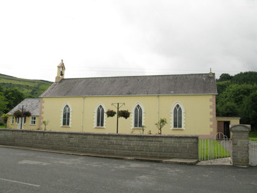 Saint Ita's Catholic Churchchurch/chapel · 1213 yd
 Mass-rock in GortnaclohyMass-rock · 1.1 mi
 IndicatedFairy fort / earthen ringfort · 1.2 mi
 Glenduff CastleCastle, tower house · 1.4 mi
 Ballagh MountainMountain / peak · 1.6 mi
 Saint Ite's WellSpring · 2.0 mi
 Dotted outlineBawn · 2.1 mi
 Mullaghareirk - Banane LoopWalking route · 3.3 mi
 Rock HillMountain / peak · 4.2 mi
 ToberhoranSpring · 5.1 mi
 Limerick GreenwayWalking route · 7.9 mi