What is recorded here
Cloonanass holds a thirty-metre earthen ring on a steep hillside, its broad ditch partly buried but still framing two opposing gates. People may have lived inside the bank or simply walked the causeways to mark the hill’s edge. The dense stones at the eastern edge hint that someone cut a hidden passage through the ditch, perhaps to escape rain or danger.
In average pasture, situated on the NW slope of a steep hill. Raised circular area (diam. 30.2m) defined by a low bank of earth and stone, and enclosed by a broad fosse (max. Wth 6m), now largely infilled. There are opposing entrances at SE (Wth 2.3m) and NW (Wth 2.4m) with accompanying causeways across the fosse. There is a possible Man-made underground passage (MA014-008001-) in the fosse at ENE marked by a concentration of stones.
Compiled by: Jane O'Shaughnessy
Date of upload: 6 February 2015
The monument record does not grant public access. Check the route and ask the landowner before entering private land.
- What survives
- Recorded monument
Places near here
 IndicatedEnclosure · 283 yd
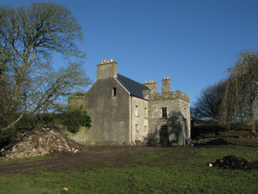 Heathfield Housefarm house · 487 yd
 Enclosure in AghaleagueEnclosure · 972 yd
 Lisheen Grave YardArchaeological place · 1.3 mi
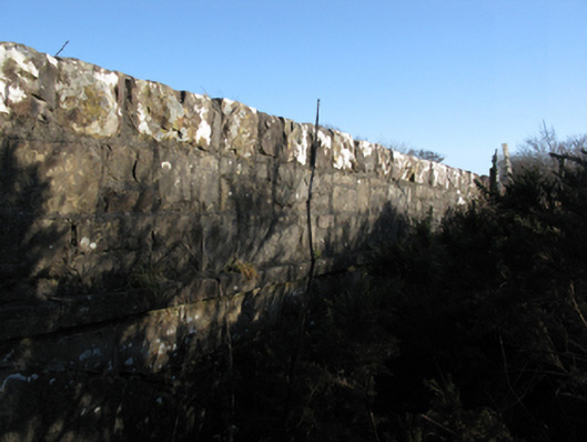 bridgebridge · 1.7 mi
 Castle (in Ruins)Castle, tower house · 2.2 mi
 Bawn in CarrickanassBawn · 2.2 mi
 Ballycastle BeachBeach / strand · 3.0 mi
 PollatarriveCliff · 3.5 mi
 WW2 Éire MarkerHeritage attraction · 4.2 mi
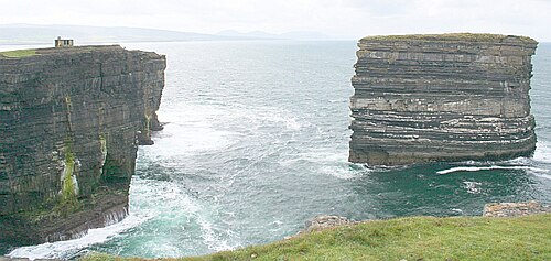 Downpatrick HeadHeadland · 4.3 mi
 TrabaunBeach / strand · 4.5 mi