What is recorded here
Cloonahard holds a thirty-five-metre earthen ring on a SW-facing slope, its low stone bank still marking a circular home though ploughs and roads have blurred the entrance. The site faces pasture and traffic, keeping its shape without pretending to be a palace or a fairy trap. It is a ordinary human boundary made strange by age, inviting imagination but resisting invented history.
On a SW-facing slope in low-lying pasture. A raised circular area (diam. 35.5m) enclosed by a low bank of earth and stone (Wth 5.3m; H 1.25m max.). From NNW-N-NNE, where it is bordered by the Longford-Edgeworthstown road, and from SSW-W-NW, the bank has been levelled but its outline is still identifiable. There is no trace of a fosse and the original entrance is not recognisable.
Compiled by: Patrick F. O'Donovan
Date of upload: 26 August 2011
This remains an important historical record, but the official description says the monument is no longer visible or has been destroyed. The monument record does not grant public access. Check the route and ask the landowner before entering private land.
- What survives
- No visible remains or recorded as destroyed
Places near here
 Man-made underground passage in CloonahardMan-made underground passage · 202 yd
 Enclosure in CloonahardEnclosure · 426 yd
 Bawn in LissardowlanBawn · 624 yd
 CastleCastle, Anglo-Norman masonry castle · 676 yd
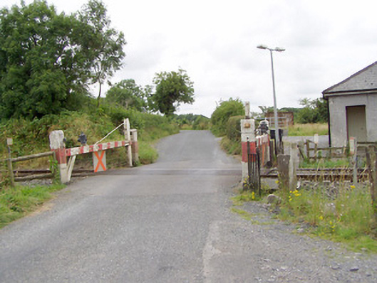 level crossinglevel crossing · 745 yd
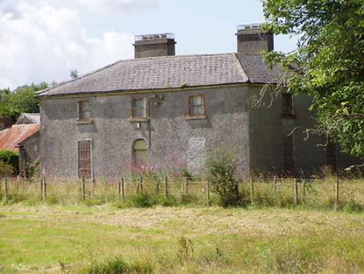 Rosemount Househouse · 1490 yd
 Oldtown DemesneForest · 1.4 mi
 Oldtown CopseWood · 1.5 mi
 Saint Mel's CathedralCathedral · 3.7 mi
 First World War MemorialMemorial · 3.7 mi
 National Famine WayWalking route · 4.4 mi
 Graveyard in Curry (ardagh By., Coolamber Ed)Graveyard · 4.9 mi