What is recorded here
Situated on top of a rise, in undulating pasture, with extensive views in all directions. Monument described in 1971 and 1976 as a subrectangular-shaped area (dims. 48m NE-SW; 31m NW-SE) enclosed by an earth and stone bank with external fosse, a gap (Wth at top 7m; Wth at base 2.4m) at ESE may represent the entrance. The bank is best defined from SE-S-W-N and has been partially levelled from N-E-SE. Quarrying is evident at the base of the bank exterior from SE-S-SW and from WNW-NW-N. The fosse is visible at W. The interior is relatively level.
See attached profile of monument surveyed and drawn by the ASI.
Compiled by Alison McQueen, Vera Rahilly and Caimin O’Brien.
Date of upload: 12 August 2019
The monument record does not grant public access. Check the route and ask the landowner before entering private land.
- What survives
- Recorded monument
Places near here
 Plary Monastery in RuinsReligious house, Augustinian canons · 871 yd
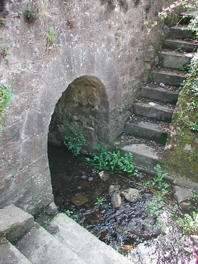 bridgebridge · 873 yd
 Plary Monastery (in Ruins)Castle, tower house · 1037 yd
 CastleCastle, unclassified · 1287 yd
 AltarMass-rock · 1288 yd
 Enclosure in ClonybaneEnclosure · 1326 yd
 Corran IslandIslet · 1.2 mi
 Japanese pagoda treeJapanese pagoda tree · 3.0 mi
 European ashEuropean ash · 3.0 mi
 KnockastiaMountain / peak · 3.4 mi
 Hill of UisneachMountain / peak · 3.8 mi
 Craft WorkshopHeritage attraction · 5.4 mi