What is recorded here
No visible fort remains in Clonwhelan except a shallow scooped ditch and a barely raised earth rim. That much is certain. What the ditch excluded, what the rim protected, and whether people lived there or marked a boundary has vanished with the land's surface. The fairy fort name does not invent facts; it records the gap left behind when the human shape disappeared.
On a rise in low-lying pasture. Depicted as a circular enclosure with the designation 'Fort' on the 1837 ed. of the OS 6-inch map. A report in 1976 (SMR file) noted that this poorly defined circular area (diam. c. 24m) was enclosed by a low bank of earth and stone with an external fosse. The enclosing elements have since been largely levelled. From SW-N-NE it is defined by a low scarp (H 0.3m) and from SE-S-SW by a fosse (Wth 3m; D 0.8-1m), which has been recut for use as a drain.
Compiled by: Patrick F. O'Donovan
Date of upload: 26 August 2011
The monument record does not grant public access. Check the route and ask the landowner before entering private land.
- What survives
- Recorded monument
Places near here
 BarrowBarrow, ring-barrow · 504 yd
 IndicatedFairy fort / earthen ringfort · 577 yd
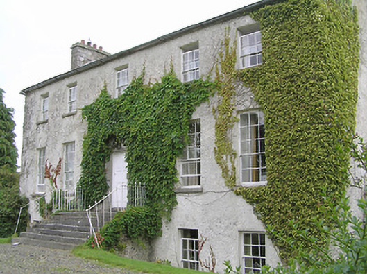 Clonwhelan Househouse · 717 yd
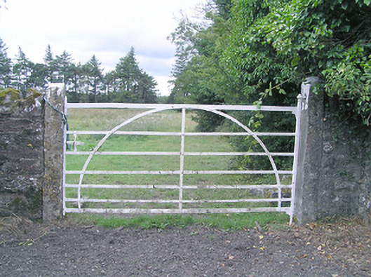 gates/railings/wallsgates/railings/walls · 726 yd
 MoatCastle, motte and bailey · 1.6 mi
 Silver FirSilver Fir · 1.7 mi
 CastleCastle, motte · 2.2 mi
 Sweet ChestnutSweet Chestnut · 2.9 mi
 Edgeworthstown BypassMemorial · 3.3 mi
 Granard MotteMotte-and-bailey castle remains · 6.6 mi
 1798 Monumentmonument · 6.7 mi
 Bully's Acregraveyard/cemetery, unknown · 8.4 mi