What is recorded here
Located on a level landscape. A circular area (diam. c. 40m) is visible as a vegetation mark defined by a single narrow ditch feature that might be slightly truncated by a NE-SW field bank at S on aerial photographs (MM (48) 7-10).
Compiled by: Michael Moore
Date of upload: 23 July, 2013
Amended: 2 May, 2014
The monument record does not grant public access. Check the route and ask the landowner before entering private land.
- What survives
- Recorded monument
Places near here
 Taulaght Ho.Church · 904 yd
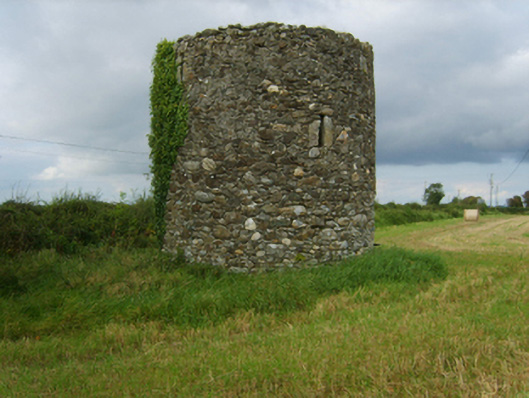 mill (wind)mill (wind) · 1177 yd
 Site of St. Leonards ChurchChurch · 1403 yd
 Field boundary in ClonminesField boundary · 1494 yd
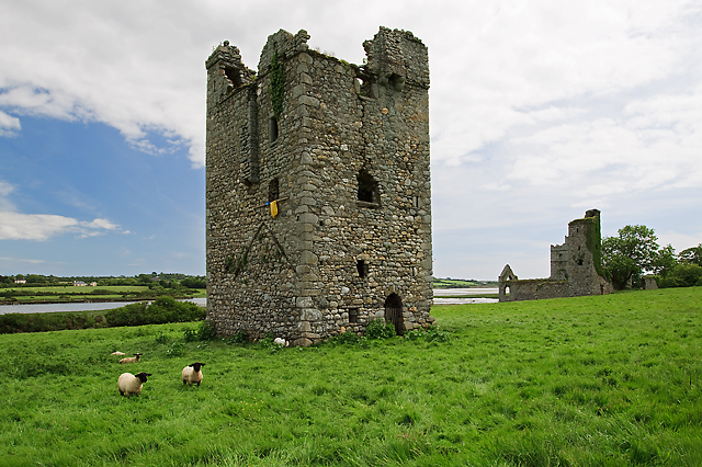 Black Castle (in ruins)Castle, tower house · 1.2 mi
 Bawn in TaylorstownBawn · 1.6 mi
 Lockheed Hudson AM885 MemorialMemorial · 1.9 mi
 Saltmills Explosion MemorialMemorial · 2.2 mi
 Carrig-On-BannowVisitor information · 2.6 mi
 Bridges ChamberCave · 3.2 mi
 Blackhall StrandBeach / strand · 3.3 mi
 Ballymadder PointHeadland · 3.6 mi