What is recorded here
Fairy forts are no such thing. They are human ringforts, built and abandoned, then renamed because people stopped remembering the hands that dug them. In Clonkeelan that hand is still visible: a shallow circular scar in the ground, no wider than a large house, with a broken ridge where the wall once stood. The fairies inherit every place humans forget.
Situated at the NE end of a NE-SW drumlin ridge. This is a subcircular grass-covered area (diam. c. 38.5m E-W; 34m N-S) defined by a scarp (at S: Wth 1.1m, H 1.1m) and hedge with an outer fosse or drain (at S: Wth of top 2.5m; Wth of base 1.8m; ext. D 0.4m) SE-W-NW that is reduced to a scarp (at N: H 0.7m) elsewhere. The original entrance is not identified.
The above description is derived from the published 'Archaeological Inventory of County Monaghan' (Dublin: Stationery Office, 1986). In certain instances the entries have been revised and updated in the light of recent research.
Compiled by: Michael Moore
Date of revision: 4 May 2018
The monument record does not grant public access. Check the route and ask the landowner before entering private land.
- What survives
- Recorded monument
Places near here
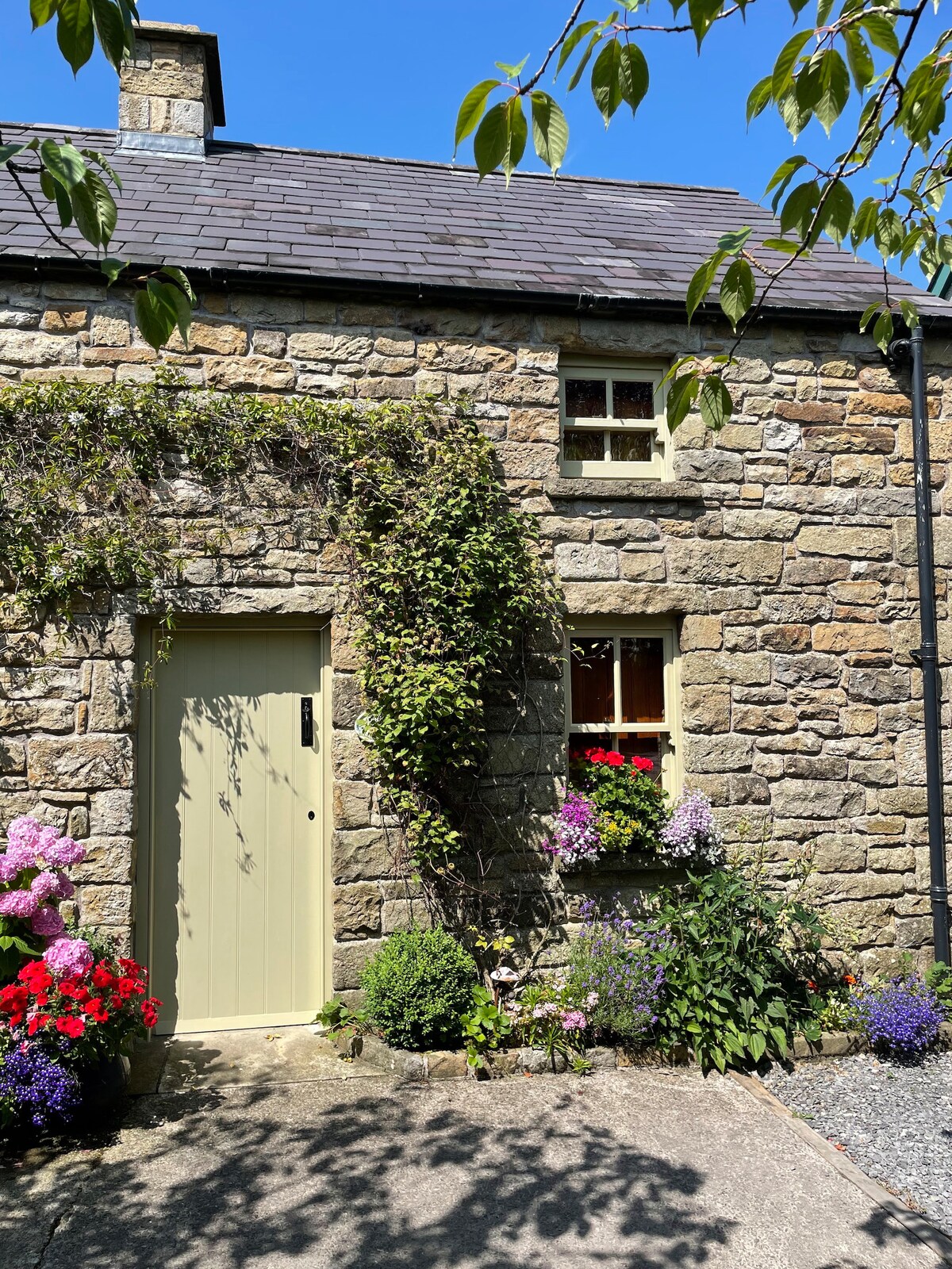 ENCLOSURE in Cloncloghy; Sheepwalk; TievegarrowENCLOSURE · 1472 yd
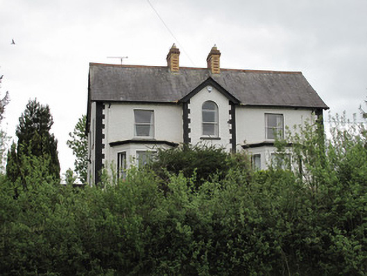 Ard na Gaoithehouse · 1.3 mi
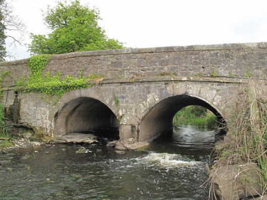 Carra Old Bridgebridge · 1.3 mi
 ENCLOSURE in ClonumphryENCLOSURE · 1.3 mi
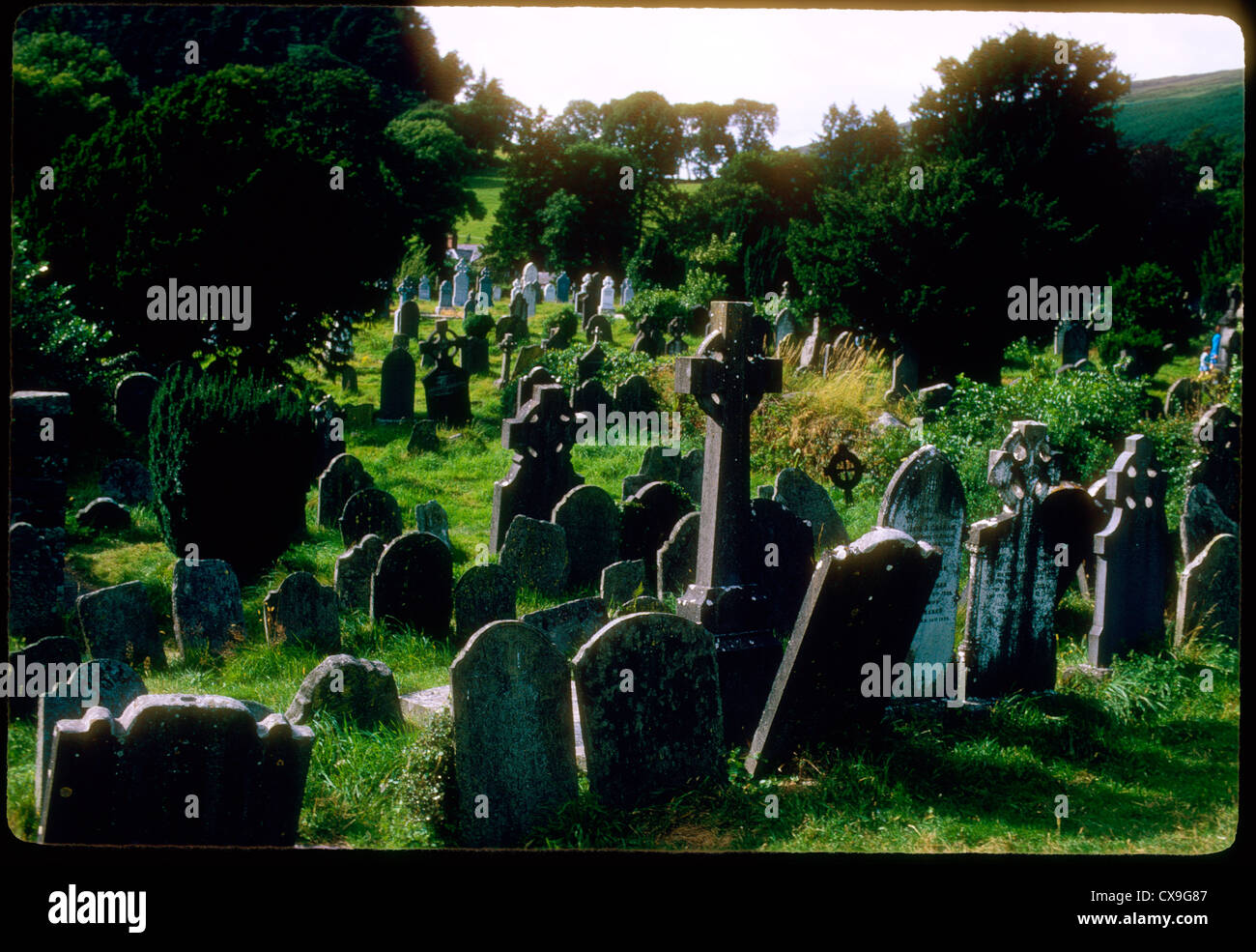 Clontivrin Grave YardArchaeological place · 1.6 mi
 Downs WoodWood · 2.2 mi
 European YewEuropean Yew · 2.3 mi
 Ulster Canal Stores Visitor CentreHeritage attraction · 2.4 mi
 CastleCastle, motte and bailey · 2.5 mi
 The Cassandra Hand CentreMuseum · 2.6 mi
 Bawn in CrossmoyleBawn · 2.7 mi
 SandhillsMountain / peak · 2.8 mi