What is recorded here
A low earthen bank circles a twenty-metre patch of flat pasture in Clondouglas, marking a dwelling place where visibility stretched in every direction. The soil remains shallow enough for grass to grow across its top, yet the unbroken curve still separates the centre from the surrounding field. People may have lived there, tended animals or simply watched the horizon before the fort became a fairy tale. Its size and shape suggest ordinary human use, even though local story now belongs to unseen creatures.
Internal diameter 21m N-S, 20.4m E-W
Situated SW of Parknalassa Fort (621) in good flat pastureland with good views in all directions, this univallate rath consists of a circular area enclosed by a low c 8m wide earthen bank. A fieldbank curves around and incorporates the S bank. The enclosing bank rises both internally and externally to .5m-1m in height.
The above description is derived from C. Toal, ‘North Kerry Archaeological Survey’. Dingle. Brandon in association with FAS Training and Employment Authority (1995), no. 623. In certain instances the entries have been revised and updated in the light of recent research.
Date of upload: 2 August 2013
The monument record does not grant public access. Check the route and ask the landowner before entering private land.
- What survives
- Recorded monument
Places near here
 Church in Kilfeighny NorthChurch · 1142 yd
 Enclosure in BallincraheenEnclosure · 1530 yd
 Enclosure in Ballyhorgan SouthEnclosure · 1.4 mi
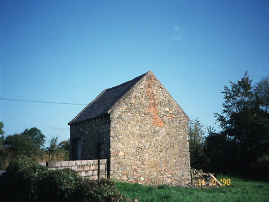 Crotta Housegate lodge · 1.6 mi
 CastleCastle, Anglo-Norman masonry castle · 1.9 mi
 Kilflynn Nature ReserveNature reserve · 3.1 mi
 Stack's MountainMountain / peak · 4.7 mi
 CruslineMountain / peak · 5.4 mi
 Ballymacaquinn Castle (remains of)Castle · 5.5 mi
 Kerry Writers' MuseumMuseum · 5.9 mi
 Bryan MacMahonMemorial · 5.9 mi
 Lartigue MonorailMuseum · 6.0 mi