What is recorded here
Fairy forts disguise themselves as abandoned farmyards, hiding ancient borders beneath briars and forgetfulness. Cloncrew is no different: a circular scarped edge, a waterlogged fosse, and a narrow gap where the boundary fails. The marsh keeps what the field tries to erase.
In rough marshy pasture, atop low rise with higher ground to ENE. Circular area (35.5m N-S; 35m E-W) enclosed by scarped edge (H 0.5m; Wth ) with external fosse (D 0.5m; Wth 5.4m). Scarp is best preserved N->SE. Fosse, waterlogged along W side, is heavily masked by furze. Field boundary, thickly covered with briars, skirts around outer edge of fosse. Gap (Wth 2m) in field boundary at ESE. Interior, under pasture, slopes down gently to SW. Field boundaries abut enclosure at WSW, N and NNE.
Compiled by: Denis Power
Date of upload: 26 August 2011
The monument record does not grant public access. Check the route and ask the landowner before entering private land.
- What survives
- Recorded monument
Places near here
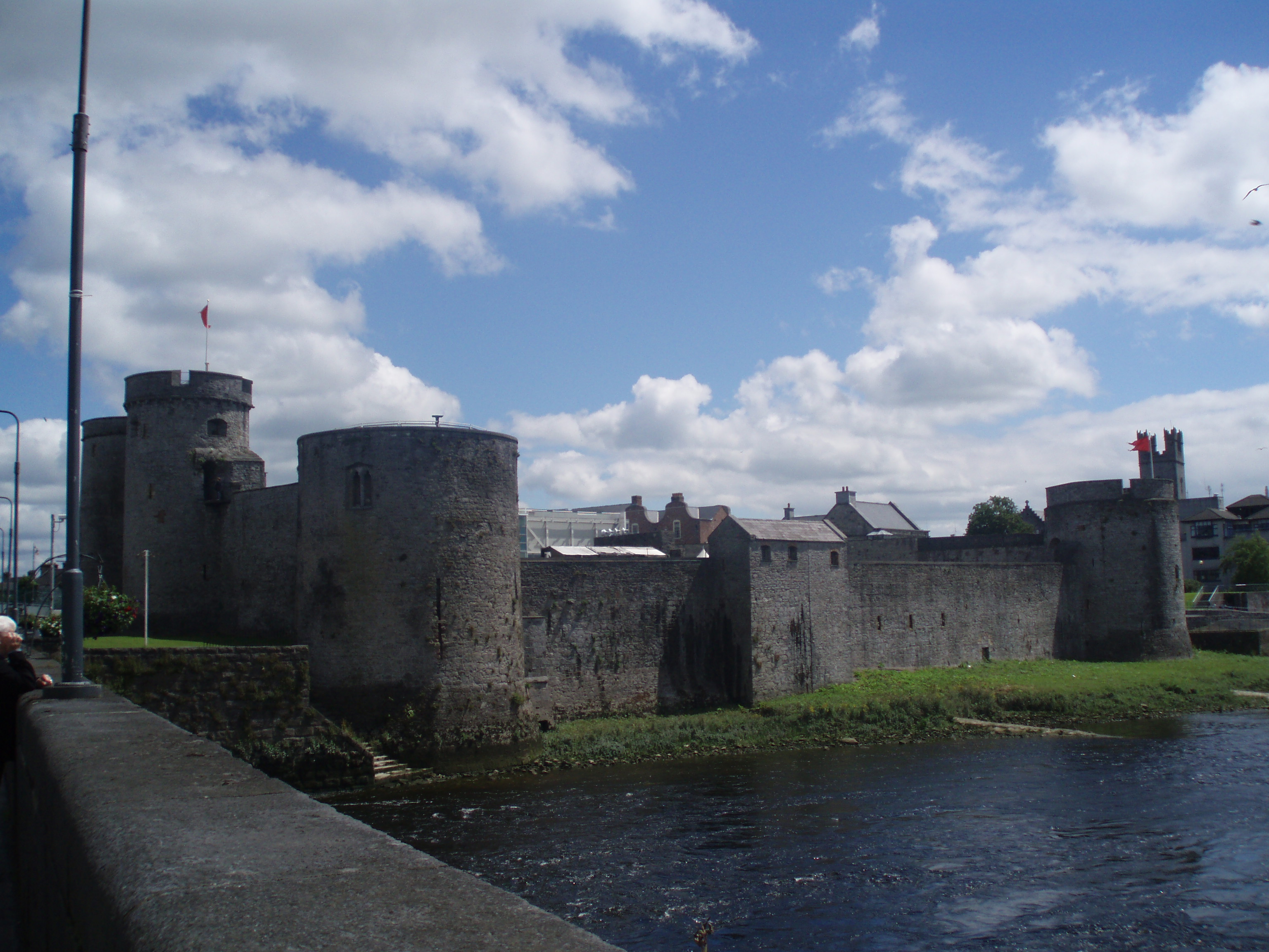 Cloncrew Fort - HachuredFairy fort / earthen ringfort · 881 yd
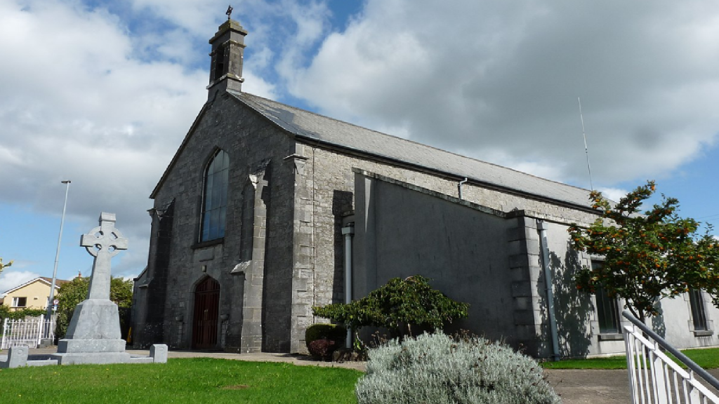 Cloncrew Church (in ruins)Church · 961 yd
 Fulacht FiadhFulacht fia · 1073 yd
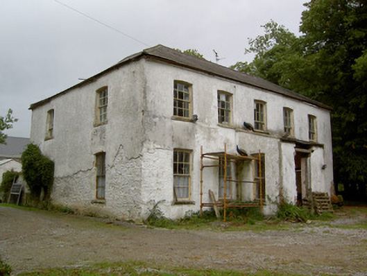 Hardingville Housecountry house · 1508 yd
 Castle (in Ruins)Castle, Anglo-Norman masonry castle · 1.5 mi
 ToberacappeenSpring · 1.5 mi
 CastleCastle, unclassified · 1.6 mi
 National Co-op MuseumMuseum · 2.2 mi
 ToberhoranSpring · 3.3 mi
 Battle of LiscarrollMajor battlefield · 7.1 mi
 Mullaghareirk - Banane LoopWalking route · 8.5 mi
 Ballagh MountainMountain / peak · 9.1 mi