What is recorded here
Cloncagh holds a faded ring where human hands shaped earth into a boundary, now reduced to a low ridge and forgotten ditch. The fairies inherited the hole, not the idea, and they populate every abandoned structure where living people stopped witnessing. Your ancestors built the first fort, died out, and left the shape empty enough for imagination to move in.
In pasture, on slight S-facing slope. Oval area (45m N-S; 39m E-W) enclosed by earthen bank (int. H 0.4m; ext. H 1m) with external fosse (D 0.2m; Wth 1.6m) W->SE. Enclosing element is largely levelled SE->W, but here there is slight trace of fosse running outside arc of thorn bushes, with field boundary running along its outer edge. Interior level and under pasture except along perimeter which is covered by overgrowth.
Compiled by: Denis Power
Date of upload: 26 August 2011
The monument record does not grant public access. Check the route and ask the landowner before entering private land.
- What survives
- Recorded monument
Places near here
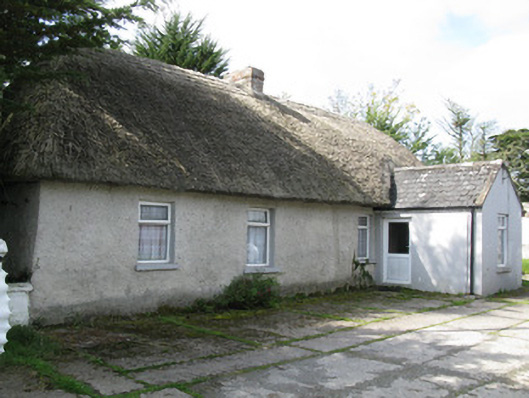 farm house, housefarm house, house · 209 yd
 Sunday WellSpring · 783 yd
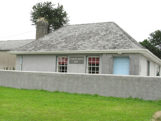 Cloncagh Carnegie Librarylibrary/archive · 802 yd
 Lady's WellSpring · 836 yd
 St Patricks WellHoly well · 911 yd
 Dotted outlineEcclesiastical enclosure · 939 yd
 Ballynoe Castle (in ruins)Castle, tower house · 1.2 mi
 Mayne Ho.Castle, unclassified · 2.8 mi
 European ashEuropean ash · 2.9 mi
 Famine stoneMemorial · 4.8 mi
 Ballagh MountainMountain / peak · 8.6 mi
 Limerick GreenwayWalking route · 9.0 mi