What is recorded here
No visible building remains, but the ground still holds the shape of a small defensible life: a raised circular area about thirty metres across, enclosed by an earthen bank and a wide deep fosse, with a possible entrance at the east-north-east where the bank breaks and a causeway accompanies it. In Clonagonnell, that is enough to imagine people moving through one narrow gap, past a ditch, into a place where the land itself was made to keep them together.
Raised almost circular area (int. dims. 30m ENE-WSW; 32m NNW-SSE) enclosed by a partly denuded earthen bank and a wide, deep fosse. Original entrance may have been at ENE where there is a break in the bank with accompanying causeway.
The above description is derived from the published 'Archaeological Inventory of County Cavan' (Dublin: Stationery Office, 1995). In certain instances the entries have been revised and updated in the light of recent research.
Date of upload/revision: 22 December 2008
The monument record does not grant public access. Check the route and ask the landowner before entering private land.
- What survives
- Recorded monument
Places near here
 Tonymore CrannogArchaeological place · 880 yd
 Enclosure in DrumconnickEnclosure · 936 yd
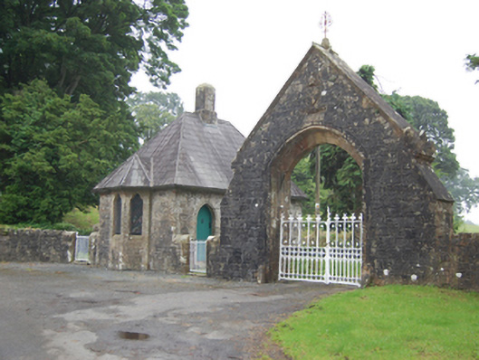 Kilmore Cathedralgate lodge · 1.0 mi
 gate lodgegate lodge · 1.1 mi
 SycamoreSycamore · 1.2 mi
 CastleCastle, motte and bailey · 1.2 mi
 Corgarran ForestForest · 1.2 mi
 Castle CosbyCastle, unclassified · 1.3 mi
 BellvilleMountain / peak · 1.5 mi
 Owen Roe O'Neill graveMemorial · 1.9 mi
 Rambling at Farnham EstateVisitor information · 2.3 mi
 Carricknagore RockNamed rock · 2.4 mi