What is recorded here
No visible trace of the Cloghroak ringfort remains, though a field wall still cuts through the pasture where a twenty-five-metre earthwork once stood. The fort belonged to the ordinary world, yet local imagination named it a fairy fort because its purpose and owners disappeared before memory faded. It may have housed a family, stored grain or marked a boundary, but the land has taken back those facts. What is left is a hollow shape in the grass, large enough to walk around and small enough to forget until dusk.
In pastureland. This is the E example of two adjoining enclosures (see also (GA104-112----)marked on the 1838 edition of the OS 6-inch map. It was roughly subcircular in plan (diam. c. 25m). On the 1933 edition of the map a field wall cuts through the monument from NW to SE. Classified by McCaffrey (1952, 226, no. 138a) as a possible earthen which was in a very ruinous condition. No visible surface trace of either monument now survives.
Compiled by: Olive Alcock
Date of upload: 17 July 2017
The monument record does not grant public access. Check the route and ask the landowner before entering private land.
- What survives
- Recorded monument
Places near here
 Cloghroak Castle (in ruins)Castle, tower house · 893 yd
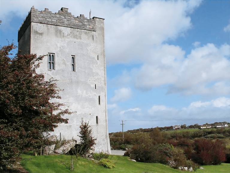 IndicatedFairy fort / stone ringfort · 955 yd
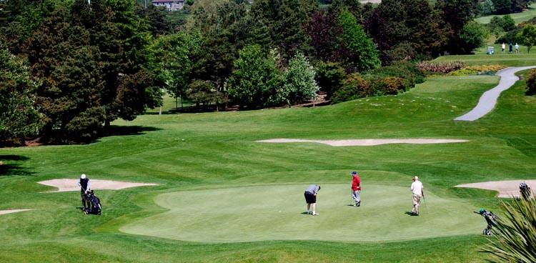 Field system in Ballybaun (dunkellin By.)Field system · 996 yd
 MonksfieldCountry house · 1.2 mi
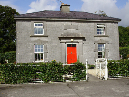 Castle Taylorsteward's house · 1.3 mi
 Castle (in ruins)Castle, Anglo-Norman masonry castle · 2.2 mi
 Drumharsna CastleHeritage attraction · 4.0 mi
 HawthornHawthorn · 4.7 mi
 European ashEuropean ash · 4.7 mi
 Mulroney's IslandIslet · 7.5 mi
 Mweenish PointHeadland · 8.4 mi
 Traught BeachBeach / strand · 9.0 mi