What is recorded here
No visible trace of the Cloghroak ringfort survives, but a field wall still cuts through the space where a twenty-six-metre earthen circle stood. That boundary may have swallowed the fort, turning an old home into a ordinary fence line. The fairies kept what the surveyors lost.
In pastureland. This is the W example of two adjoining enclosures (see also GA104-112001-) marked on the 1838 edition of the OS 6-inch map. It was roughly subcircular in plan (diam. c. 26m). On the 1933 edition of the map only the NE half of the monument is indicated by a line of hachures. A field wall cut through it from NW to SE and no trace of it is depicted to the SW of the field wall. Classified by McCaffrey (1952, 226, no. 138a) as a possible earthen fort which was in a very ruinous condition. No visible surface trace of either monument now survives.
Compiled by: Olive Alcock
Date of upload: 27 July 2017
The monument record does not grant public access. Check the route and ask the landowner before entering private land.
- What survives
- Recorded monument
Places near here
 Cloghroak Castle (in ruins)Castle, tower house · 918 yd
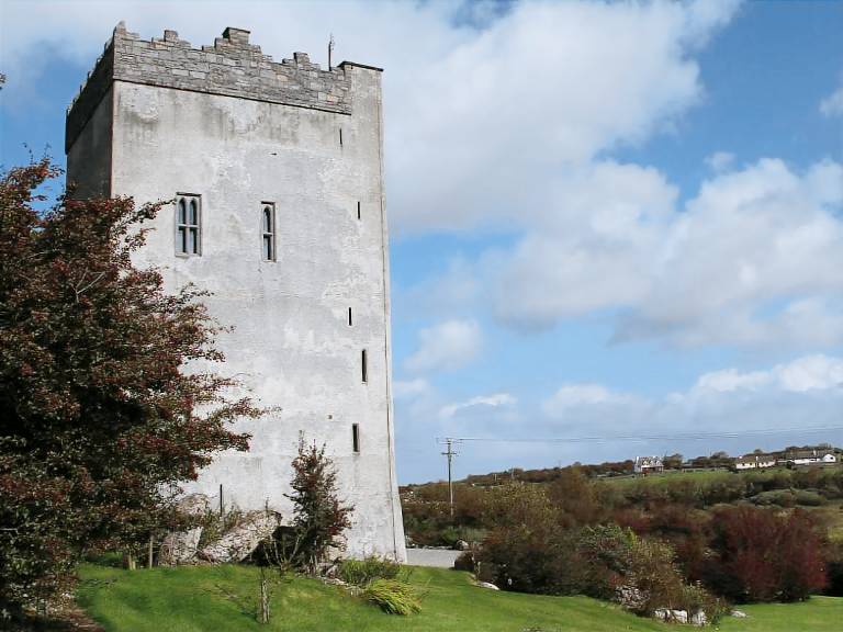 IndicatedFairy fort / stone ringfort · 950 yd
 Field system in Ballybaun (dunkellin By.)Field system · 990 yd
 MonksfieldCountry house · 1.2 mi
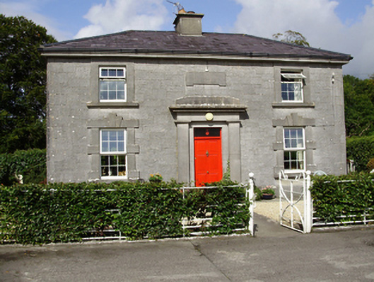 Castle Taylorsteward's house · 1.3 mi
 Castle (in ruins)Castle, Anglo-Norman masonry castle · 2.1 mi
 Drumharsna CastleHeritage attraction · 4.0 mi
 HawthornHawthorn · 4.7 mi
 European ashEuropean ash · 4.7 mi
 Mulroney's IslandIslet · 7.5 mi
 Mweenish PointHeadland · 8.4 mi
 Traught BeachBeach / strand · 9.0 mi