What is recorded here
Marianne and her sister stood at the edge of the fort, looking down into the hollow where shadows gathered like water. Marianne wanted to leave, but her sister stepped across the causeway because the girl in the vision had pointed there. They walked the full circle twice, touching the cool earth and naming what they saw: a door, a chamber, a kitchen, and a woman waiting with both hands open. When they returned to the causeway, the fort had vanished, and their mother was already calling them home.
Situated on the summit of a N-S drumlin ridge. This is a grass and rush-covered circular area (int. diam. 34.8m N-S; 32.2m E-W) defined by a steep-sided, flat-topped, overgrown earthen bank (Wth of base 5.5-7.2m; int. H 0.5m at W to 1.1m at N; ext. H 2.2m at N to 3.6m at W) with an external fosse (Wth of top 5-7m; Wth of base 1.5-4m; ext. D 0.2m at E to 1.2m at W (upslope)). There is an entrance (Wth of base 2m) and causeway (Wth of top 3.6m) at E (max. ext. diam. 60.5m N-S).
The above description is derived from 'The Archaeological Inventory of County Leitrim' compiled by Michael J. Moore (Dublin: Stationery Office, 2003). In certain instances the entries have been revised and updated in the light of recent research.
Compiled by: Michael Moore
Date of upload: 14 October 2019
The monument record does not grant public access. Check the route and ask the landowner before entering private land.
- What survives
- Recorded monument
Places near here
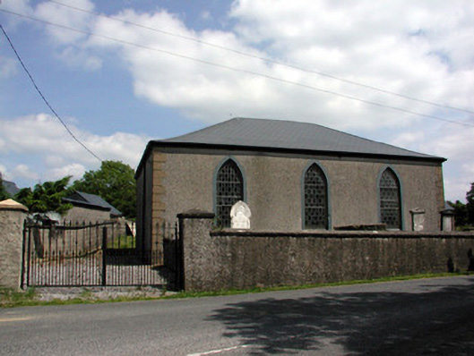 Carrigallen Presbyterian Churchchurch/chapel · 894 yd
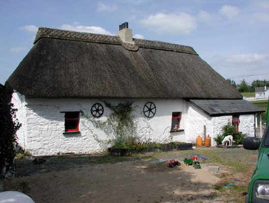 Homelyfarm house · 1265 yd
 DrumbreanlisMountain / peak · 1451 yd
 European YewEuropean Yew · 1.1 mi
 St. Patricks WellHoly well · 1.1 mi
 King's GraveArchaeological place · 1.2 mi
 Mass-rock in Annagh (carrigallen By.)Mass-rock · 1.3 mi
 Kilnamarve ForestForest · 1.6 mi
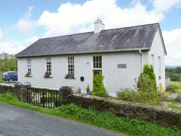 CorlisbrattanMountain / peak · 1.7 mi
 Killeshandra Irish Countrywomen's Association 70th AnniversaryMemorial · 4.6 mi
 Bawn in CastlepolesBawn · 5.2 mi
 North Midland Transport CollectionMuseum · 5.5 mi