What is recorded here
Death and memory have tangled that field into a chamber where forgotten things still turn. The circle measures twenty-nine metres across, tight enough for a person to walk the entire distance in under a minute, yet large enough to hold several lives at once. What is missing has not disappeared; it has stopped being visible to the living. The girl who vanished beside it is still making the chamber complete.
In level pasture. Roughly circular area (diam. 29m N-S; 26m E-W) enclosed by band of differential growth (Wth 3.5m). Visible as cropmark of bank and external fosse in aerial photograph (CASAP, August 1984). Circular enclosure (CO019-141---) immediately to W; possible ringfort (CO019-045---) c. 100m to NE.
The above description is derived from the published 'Archaeological Inventory of County Cork. Volume 4: North Cork' (Dublin: Stationery Office, 2000). In certain instances the entries have been revised and updated in the light of recent research.
Date of upload/revision: 14 January 2009
The monument record does not grant public access. Check the route and ask the landowner before entering private land.
- What survives
- Recorded monument
Places near here
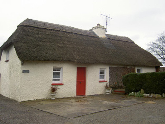 Cloghleafin Lodgehouse · 497 yd
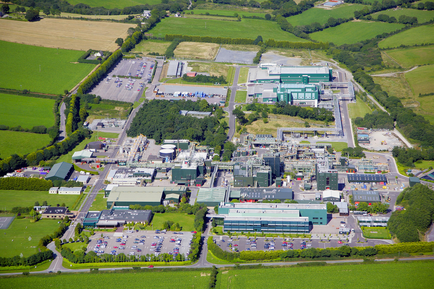 Fulacht fia in Cloghleafin (condons and Clongibbon By., Marshalstown Par.)Fulacht fia · 595 yd
 Marshalstown Bridgebridge · 887 yd
 Grave YardGraveyard · 1004 yd
 CastleCastle, unclassified · 1220 yd
 Carriganoura Castle (in Ruins)Castle, tower house · 1.5 mi
 Kilclooney WoodWood · 2.4 mi
 Flat cemetery in Ballyenahan NorthFlat cemetery · 2.6 mi
 Mitchelstown Town MapVisitor information · 3.7 mi
 John MandevilleMemorial · 3.7 mi
 FlagCave · 4.3 mi
 CarrigeenamronetyMountain / peak · 4.4 mi