What is recorded here
Quarrying has cut the southern bank, leaving a shallow arc that still bends across level pasture. The surviving earth rises one metre thirty outside and drops to fifty centimetres inside, marking a circular enclosure about thirty metres wide. A limekiln once sat in the southeast bank, suggesting the fort served nearby work as well as residence. The missing southern section does not disappear from imagination; it can be seen in the continuity of the remaining curve.
In level pasture. Depicted as hachured circular enclosure (diam. c. 30m) on 1842 OS 6-inch map, with limekiln in SSE bank; as hachured arc SW->NE on 1905 and 1935 OS 6-inch maps, with kink in field boundary defining SE side. Arc formed by earthen bank (int. H 0.5m; ext. H 1.3m) survives S->NNE, with shallow external fosse (D 0.1m). Quarrying on line of bank and fosse to S. Interior, enclosed by arc, is slightly raised.
The above description is derived from the published 'Archaeological Inventory of County Cork. Volume 4: North Cork' (Dublin: Stationery Office, 2000). In certain instances the entries have been revised and updated in the light of recent research.
Date of upload/revision: 14 January 2009
The monument record does not grant public access. Check the route and ask the landowner before entering private land.
- What survives
- Recorded monument
Places near here
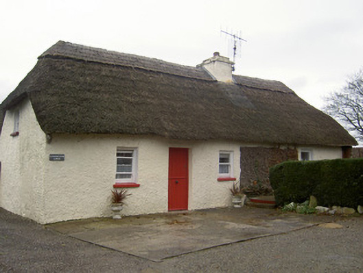 Cloghleafin Lodgehouse · 695 yd
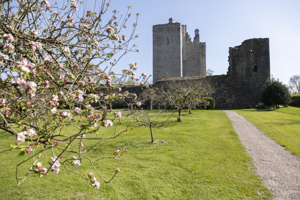 IndicatedKiln, lime · 819 yd
 Grave YardGraveyard · 1066 yd
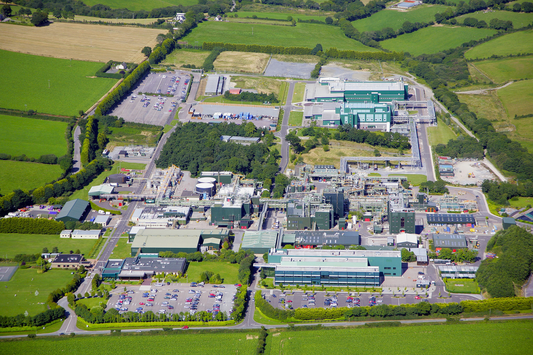 Fulacht fia in Cloghleafin (condons and Clongibbon By., Marshalstown Par.)Fulacht fia · 1630 yd
 Carriganoura Castle (in Ruins)Castle, tower house · 1.0 mi
 CastleCastle, unclassified · 1.4 mi
 Kilclooney WoodWood · 2.8 mi
 Mitchelstown Town MapVisitor information · 3.0 mi
 John MandevilleMemorial · 3.0 mi
 Flat cemetery in Ballyenahan NorthFlat cemetery · 3.2 mi
 FlagCave · 3.8 mi
 St Dominick's WellSpring · 4.6 mi