What is recorded here
Mortons castle and the fort share one ridge in Cloghgriffin. The fort is a shallow circular scar on a south-facing slope, with a low bank and faint outer ditch. It is not a grand ruin, but a quiet mark of old residence beside a later castle.
In pasture, on S-facing slope. Roughly circular area (40.1m N-S; 36.2m E-W) enclosed by scarp S->SE; low bank survives SE->S (int. H 0.45m; ext. H 2m); shallow external fosse (max. D 0.5m). Site of castle (CO136-004002-) at NNE edge.
The above description is derived from the published 'Archaeological Inventory of County Cork. Volume 1: West Cork' (Dublin: Stationery Office, 1992). In certain instances the entries have been revised and updated in the light of recent research.
Date of upload/revision: 14 January 2009
A fairy fort or earthen ringfort in Cloghgriffin, likely dating to the early medieval period, is characterized by a roughly circular enclosure with a surviving scarp and bank. Local tradition associates the site with fairy folklore, while its proximity to a medieval castle suggests possible later historical significance.
The monument record does not grant public access. Check the route and ask the landowner before entering private land.
- What survives
- Recorded monument
Places near here
 Castle (Site of)Castle, unclassified · 18 yd
 Man-made underground passage in CloghgriffinMan-made underground passage · 427 yd
 Templequinlan Church (in Ruins)Church · 565 yd
 IndicatedFairy fort / earthen ringfort · 624 yd
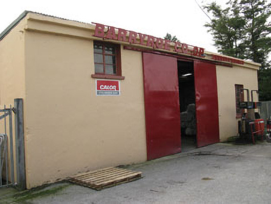 Barryroe Creamerycreamery · 962 yd
 Michael Collins CentreMuseum · 1.1 mi
 Ballinoroher CastleCastle · 1.6 mi
 Argdeen Valley TrailVisitor information · 2.2 mi
 Argideen Loop WalksVisitor information · 2.3 mi
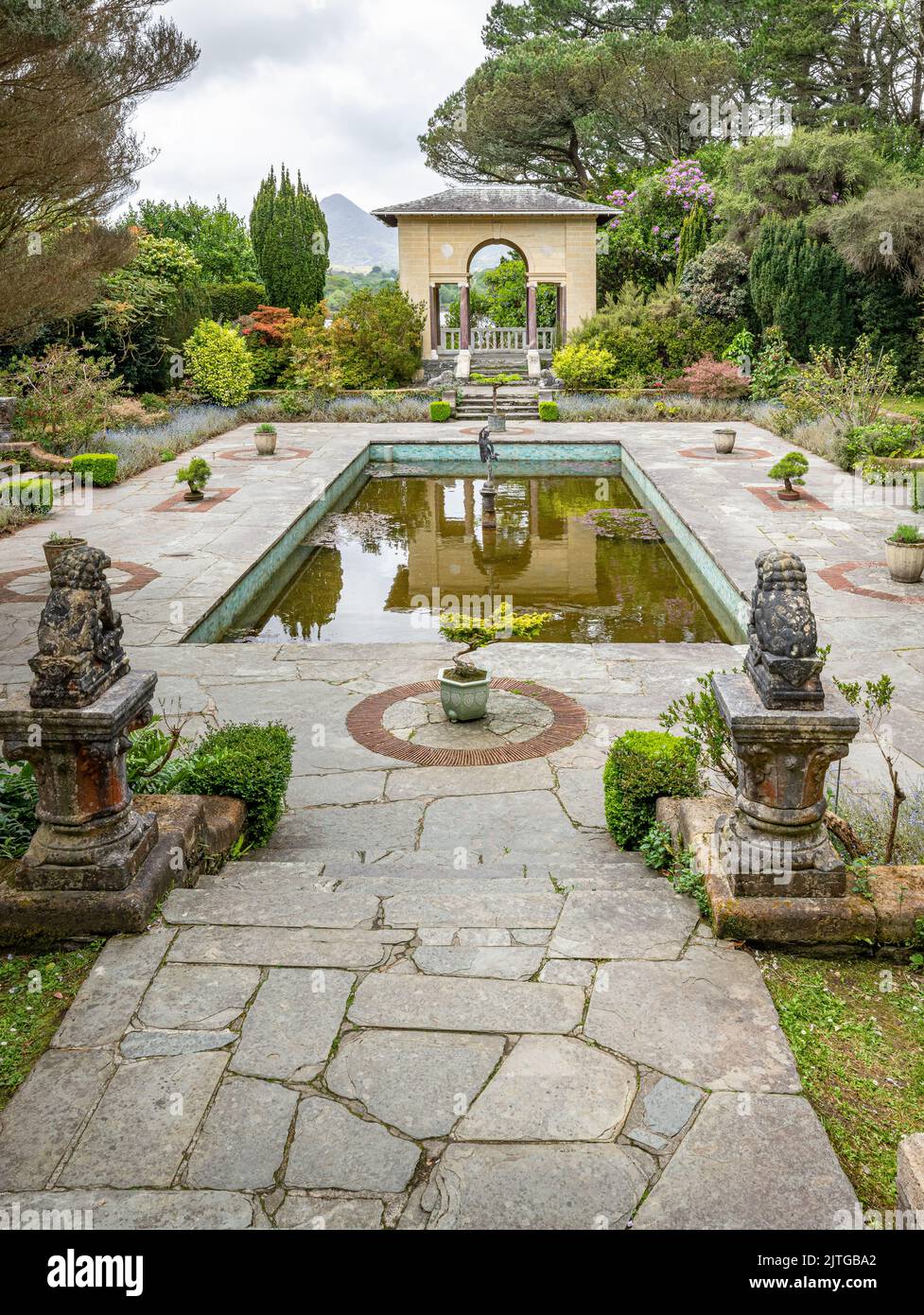 Garden WoodWood · 2.5 mi
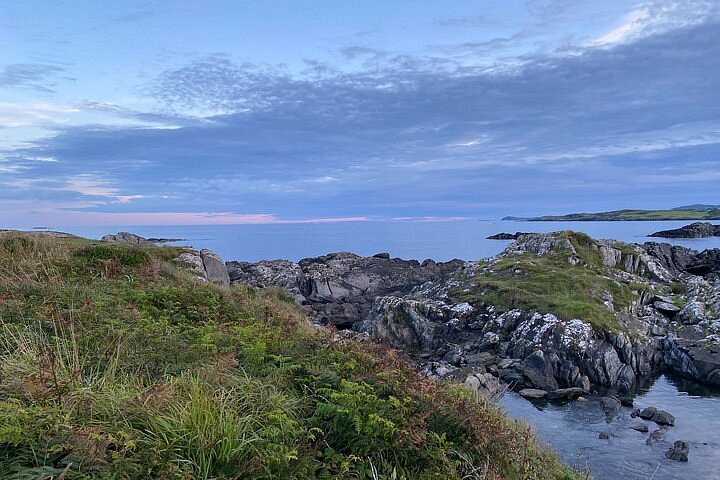 Interesting Cliffs RingCliff · 2.6 mi
 Stoney Beach RingBeach / strand · 2.8 mi