What is recorded here
No visible fort remains in Clogher (clanmaurice By., Lixnaw Ed), County Kerry, Ireland, though a large circular enclosure marked on the 1841-42 and 1914-15 OS maps was still visible in 1974 aerial photographs before being levelled. The loss suggests a familiar human choice: to take a strange or unused shape out of the way and return the land to ordinary use. What the ring guarded, held or excluded has gone with it, leaving only the deleted circle and the certainty that it once stood where the soil was taken.
This large circular enclosure is marked on the 1841-42 and 1914-15 OS maps; half of it lies on OS 6-inch Sheet 15, while the rest is on the present map. This site shows up on the Geological Survey of Ireland's aerial photographs (1974), but it has since been levelled.
The above description is derived from C. Toal, ‘North Kerry Archaeological Survey’. Dingle. Brandon in association with FAS Training and Employment Authority (1995), no. 620. In certain instances the entries have been revised and updated in the light of recent research.
Date of upload: 2 August 2013
The monument record does not grant public access. Check the route and ask the landowner before entering private land.
- What survives
- Recorded monument
Places near here
 Enclosure in Clogher (clanmaurice By., Lixnaw Ed)Enclosure · 329 yd
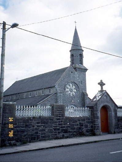 Saint Michael's Catholic Churchchurch/chapel · 585 yd
 Ecclesiastical enclosure in BallynagareEcclesiastical enclosure · 669 yd
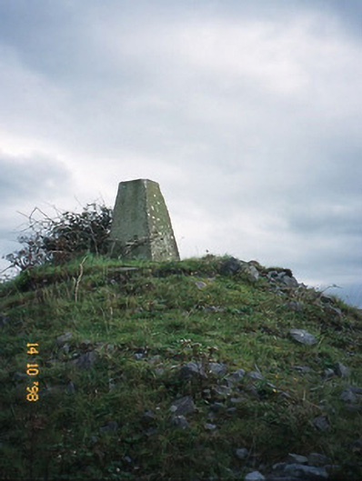 FitzMaurice Monumentmonument · 907 yd
 CastleCastle, Anglo-Norman masonry castle · 1146 yd
 Kilflynn Nature ReserveNature reserve · 4.2 mi
 Ballymacaquinn Castle (remains of)Castle · 4.8 mi
 Lartigue MonorailMuseum · 6.1 mi
 Kerry Writers' MuseumMuseum · 6.1 mi
 Bryan MacMahonMemorial · 6.1 mi
 John B. Keane GroveMemorial · 6.1 mi
 Clashmealcon CavesCave · 6.3 mi