What is recorded here
Fairy fort / earthen ringfort in Clogher (ballintober North By.),kilmore (ballintober North By.) is a fairy fort or earthen ringfort in Clogher (ballintober North By.),kilmore (ballintober North By.), County Roscommon, Ireland. It is a D-shaped grass-covered area on a SE-facing slope of a broad drumlin, marked only on the 1914 ed. of the OS 6-inch map. The site has no visible entrance and is truncated at the south by an E-W drystone wall and townland boundary with Kilmore.
Marked only on the 1914 ed. of the OS 6-inch map, and situated on a SE-facing slope of a broad drumlin. D-shaped grass-covered area (dims. 29m E-W; 23m N-S) defined by an earthen bank (Wth 4-4.2m; int. H 0.4m; ext. H 0.95m) and fosse (Wth of base 2-2.5m) NW-N, and scarp (H 0.55-0.8m) elsewhere. There is no visible entrance, and the site is truncated by an E-W drystone wall and townland boundary with Kilmore at S. Rath (RO012-018----) is c. 150m to the NW.
Compiled by: Michael Moore
Date of upload: 24 August 2010
The monument record does not grant public access. Check the route and ask the landowner before entering private land.
- What survives
- Recorded monument
Places near here
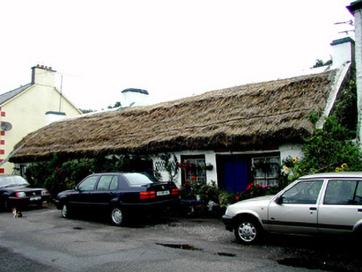 The Thatchhouse · 293 yd
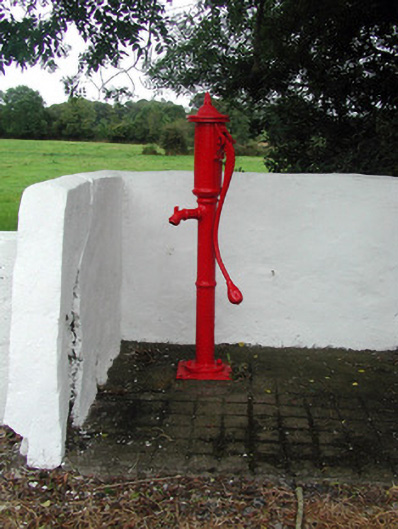 Historic buildingOfficially recorded historic building · 370 yd
 Tobermacleggan WellHoly well · 521 yd
 Site of Dangan CastleCastle, unclassified · 1443 yd
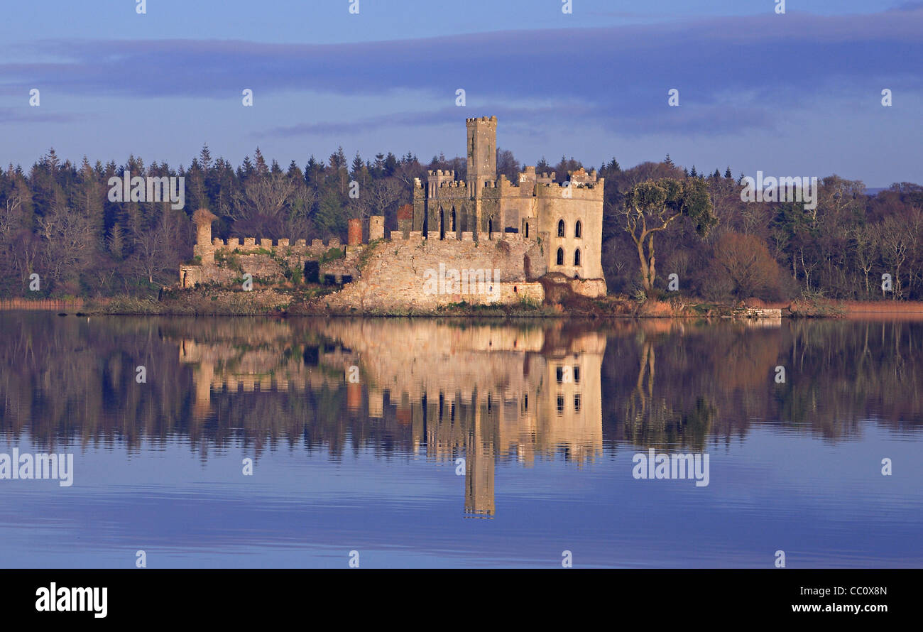 IndicatedFairy fort / earthen ringfort · 1.0 mi
 InishmoylinIslet · 1.8 mi
 Coarse IslandForest · 2.0 mi
 Wildlife AreaNature reserve · 2.1 mi
 Tom Dunphy MemorialMemorial · 2.1 mi
 Dockery's IslandIslet · 2.1 mi
 Patrick Gill Memorial Plaque (IRA)Monument · 2.3 mi
 Cavan & Leitrim RailwayMuseum · 4.5 mi