What is recorded here
Marianne and her brother climbed the bank at Clifferna while rain threatened. They measured the circular space, marked the broken entrance, and sketched the square field boundary that had overwritten the ancient curve. When she later watched people walk past the fort, she understood why she had mapped it. Forgetting is not the same as losing a place. Remembering it is the first act of protection.
Raised circular area (int. diam. c. 23m) enclosed by an earthen bank and vague traces of a fosse. A later field boundary has been superimposed on the bank at N rendering it square in plan on this side. Original entrance may be represented by a break in bank at NE.
The above description is derived from the published 'Archaeological Inventory of County Cavan' (Dublin: Stationery Office, 1995). In certain instances the entries have been revised and updated in the light of recent research.
Date of upload/revision: 22 December 2008
The monument record does not grant public access. Check the route and ask the landowner before entering private land.
- What survives
- Recorded monument
Places near here
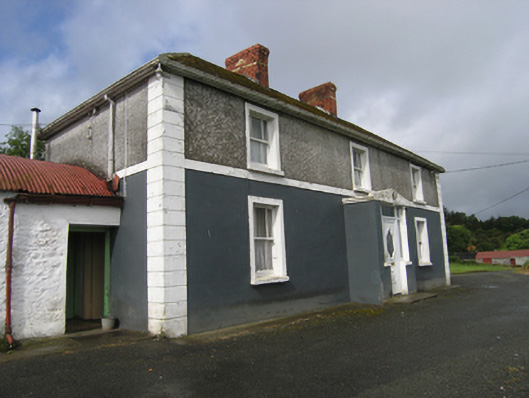 farm housefarm house · 260 yd
 CliffernaMountain / peak · 1083 yd
 St. Michaels R. C. ChapelChurch · 1169 yd
 CarrickacromanMountain / peak · 1.6 mi
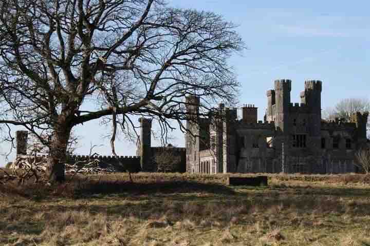 RavenswoodForest · 1.9 mi
 Fairy fort / stone ringfort in KillymeehanFairy fort / stone ringfort · 2.1 mi
 Tullyunshin South ForestForest · 2.2 mi
 Raven's RockNamed rock · 2.6 mi
 Enclosure in DerryhumEnclosure · 3.2 mi
 Foundation Stone Blessed by Pope John Paul II 1979Memorial · 3.4 mi
 To The Memory of P.J. DukeMemorial · 3.6 mi
 The GPO ExhibitionMuseum · 6.1 mi