What is recorded here
Fairy forts are often called raths or ringforts, yet they are not true forts. This is a grass-covered earthen circle on the edge of a shelf above Lough Allen, with a shallow outer ditch and no obvious defensive purpose. People may have kept animals, buried things, or simply marked a place they loved. The fairies are not the point; the shape is. A round border drawn into living land, still holding its form after every attempt to erase it.
Located on the outer edge of a shelf overlooking Lough Allen to the W. This is a grass and rush-covered subcircular area (int. dims 32m N-S; 26.5m E-W) defined by an overgrown earthen bank (Wth 4.5-5.5m; int. H 0.2-0.8m; ext. H 1.3-1.5m) W-N-SE, which is reduced to a slight scarp or a curve in a field wall (Wth 1m; ext. H 1.1m) elsewhere, and an external fosse (Wth of top 5-6.3m; Wth of base 1.5-3m; D 0.8m) N-E. The entrance may have been at SSE.
The above description is derived from 'The Archaeological Inventory of County Leitrim' compiled by Michael J. Moore (Dublin: Stationery Office, 2003). In certain instances the entries have been revised and updated in the light of recent research.
Date of upload: 23 September 2008
The monument record does not grant public access. Check the route and ask the landowner before entering private land.
- What survives
- Recorded monument
Places near here
 Tober BuryHoly well · 758 yd
 Sweat HouseSweathouse · 764 yd
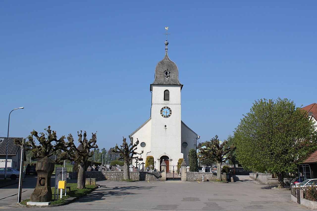 Church in FahyChurch · 1.3 mi
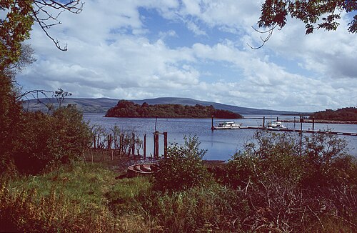 Lough AllenLarge freshwater lake · 1.5 mi
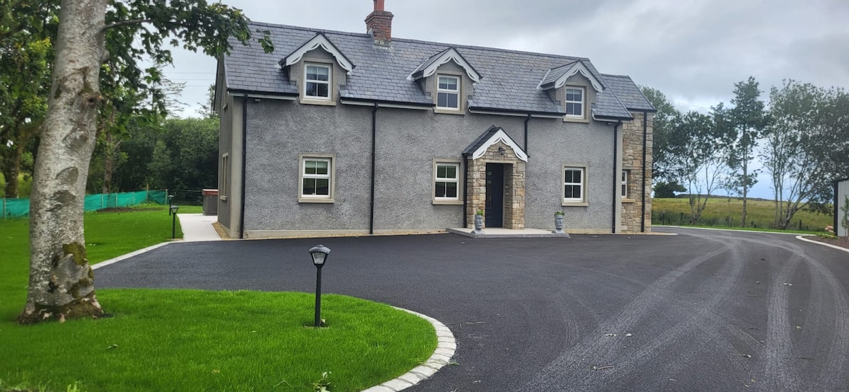 GubcormonganHeadland · 2.0 mi
 Fahy RockIslet · 2.1 mi
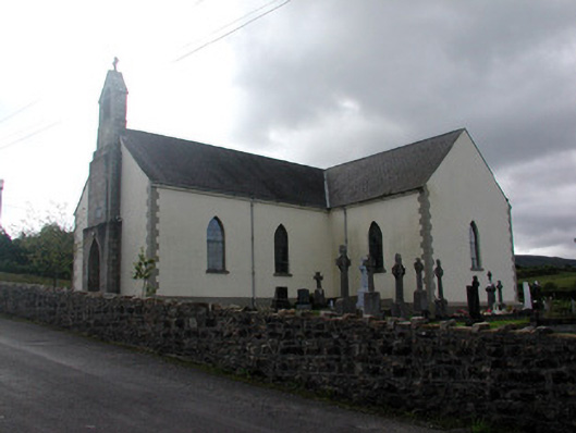 Saint Hugh's Catholic Churchchurch/chapel · 2.2 mi
 Long IslandIslet · 2.5 mi
 Rocking StoneNamed rock · 2.8 mi
 Sliabh an IarainnMountain / peak · 2.9 mi
 Forde's CastleCastle · 2.9 mi
 Black PoplarBlack Poplar · 3.4 mi