What is recorded here
Fairy fort / earthen ringfort in Cleedagh,dooneen (magunihy By., Kilcummin Ed) stands in County Kerry, Ireland. Local memory may preserve more than measurement, yet invention must not overwrite what is known. The distinction between imagination and fact must remain clear.
In pasture, on a gentle NE-facing slope, to the E of the Dooneen-Knockatagglebeg road. This rath is levelled but the possible outline of a gently curving scarp is visible NW-E. The rath is indicated on the 1846 OS 6-inch map as a circular enclosure (diam. c. 30m) abutted by the NE-SW townland boundary along the SE arc. On the 1894 OS 6-inch map it is indicated as a D-shaped enclosure (dim. c. 20m NW-SE) abutting the townland boundary at SE (L 20m). A possible Man-made underground passage (KE058-047001-) is associated with the rath.
Compiled by: Elizabeth Byrne, Ursula Egan and Sheila Ronan, Archaeological Survey Unit, University College, Cork.
Date of upload: 31 January 2011
The monument record does not grant public access. Check the route and ask the landowner before entering private land.
- What survives
- Recorded monument
Places near here
 CaveMan-made underground passage · 10 yd
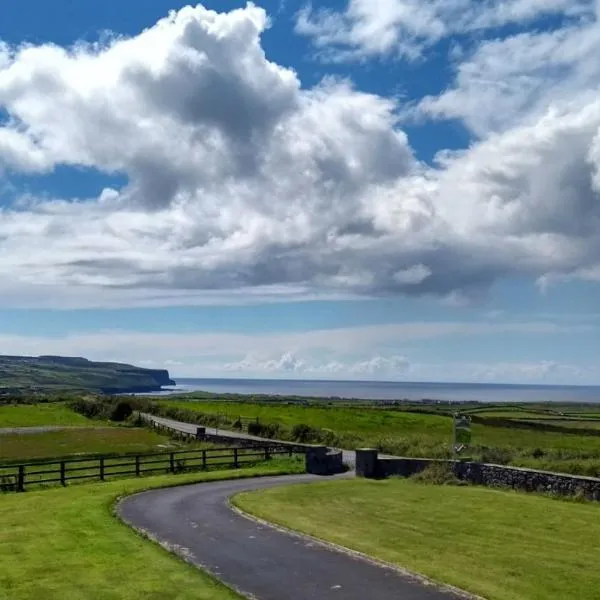 Enclosure in CleedaghEnclosure · 217 yd
 Church in Glebe (magunihy By., Kilcummin Ed)Church · 334 yd
 Dooneen Br.Bridge · 1347 yd
 Famine MemorialMemorial · 3.3 mi
 GinkgoGinkgo · 3.5 mi
 Aghadoe Early Medieval Ecclesiastical SiteHeritage attraction · 3.5 mi
 Kerry 2nd Brigade of the Irish Republican ArmyMemorial · 3.6 mi
 Parkavonear CastleCastle · 3.6 mi
 Giant SequoiaGiant Sequoia · 3.8 mi
 Jaunting ToursHeritage attraction · 3.8 mi
 Circular WalkWalking route · 3.9 mi