What is recorded here
Half a mile from the last road, a solid earthen wall still stands twenty-six metres across, enclosing a small circle of raised ground where people once lived, watched the horizon, or kept what they valued. The bank is six metres wide at its base and tall enough to block most of the sky, while a curved mound of stones lies inside near the north-west edge, possibly the entrance to a passage that a survey marked as a cave in 1842. The fort is not a fairy tale in shape; it is a made place, human and deliberate, yet large enough in imagination to become one.
Internal diameter 25m N-S, 26.4m E-W
Situated on pastureland that is gently sloping S, this site's views to the E, S, and W are excellent. This univallate rath consists of a circular area enclosed by a bank. The enclosing earthen bank is well defined. It is c 6m in width at the base, varies from 1m-2.5m in height externally and is c .8m in height above the interior. The interior is at a higher level than the surrounding land. In the NW of the interior is a semi-circular mound that curves in to the bank. A lot of stones are visible. This is possibly the Man-made underground passage (KE014-010001-) that is marked as 'cave' on the 1842 OS map.
The above description is derived from C. Toal, ‘North Kerry Archaeological Survey’. Dingle. Brandon in association with FAS Training and Employment Authority (1995), no. 468. In certain instances the entries have been revised and updated in the light of recent research.
Date of upload: 2 August 2013
The monument record does not grant public access. Check the route and ask the landowner before entering private land.
- What survives
- Recorded monument
Places near here
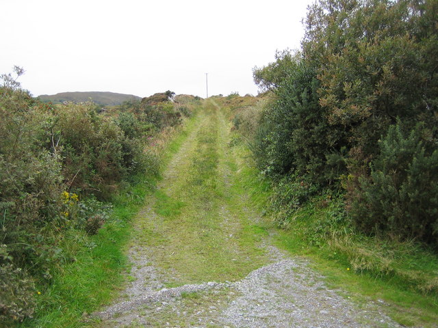 Man-made underground passage in CleanderryMan-made underground passage · 1 yd
 Castle (in ruins)Castle, unclassified · 1.2 mi
 Fox FortArchaeological place · 1.2 mi
 CastleCastle, unclassified · 1.3 mi
 Inshaboy PointHeadland · 1.8 mi
 Pierce's IslandIslet · 2.2 mi
 MineMine, lead · 2.3 mi
 Bridge in CloghaneleeshBridge · 2.4 mi
 Our Lady's Holy WellSpring · 3.3 mi
 Clashmealcon CavesCave · 4.0 mi
 Maulin MountainMountain / peak · 4.5 mi
 Triskbeg MountainMountain / peak · 5.3 mi