What is recorded here
Fairy fort / earthen ringfort in Clashnacrona West stands in reclaimed pasture atop a hillock, an oval area 27.3 metres long and 25 metres wide bounded by a steep scarp one metre high and a low bank in places. People may have lived inside that raised centre, watched the western fosse shadow lengthen at dusk, or simply avoided the place because local story called it a fairy fort. The earth still holds the shape of that choice: a small world made visible, part home, part warning, waiting beneath ordinary grass.
In reclaimed pasture, atop hillock. Oval area (diam. 27.3m NW-SE; 25m NE-SW) defined by steep scarp (H 1.1m); topped by low bank (max. H 0.4m) to NW and SW. Trace of fosse to W. Interior higher in the centre.
The above description is derived from the published 'Archaeological Inventory of County Cork. Volume 1: West Cork' (Dublin: Stationery Office, 1992). In certain instances the entries have been revised and updated in the light of recent research.
Date of upload/revision: 14 January 2009
The monument record does not grant public access. Check the route and ask the landowner before entering private land.
- What survives
- Recorded monument
Places near here
 IndicatedFairy fort / earthen ringfort · 1664 yd
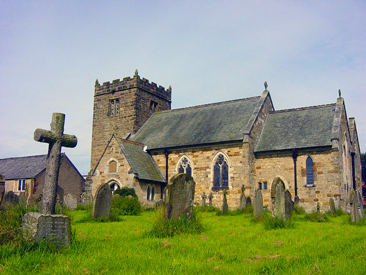 Man-made underground passage in Kilbarry (carbery East (w.d) By.)Man-made underground passage · 1.0 mi
 Milane HillMountain / peak · 1.1 mi
 Graveyard in ToughmacdermodyGraveyard · 2.3 mi
 Pookeen North TopMountain / peak · 2.5 mi
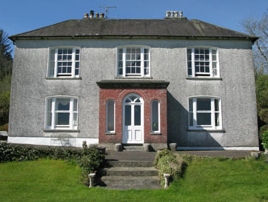 Manor Househouse · 2.6 mi
 Coolkellure Housecountry house · 2.7 mi
 Mohona WoodWood · 2.9 mi
 Castle (Site of)Castle, Anglo-Norman masonry castle · 3.4 mi
 Dunmanway Heritage CentreVisitor information · 3.7 mi
 Drimoleague Heritage Loop WalkWalking route · 3.9 mi
 Delish Cascade WalkWalking route · 4.0 mi