What is recorded here
Fairy fort in Clashmorgan, County Cork: a 30 m earthen ring on a north-facing slope, mapped in 1842, 1904 and 1935, now levelled with no visible trace. Under the pasture may still lie a man-made passage and the ghost of a central hut. The fort has vanished from sight but not from the land's memory.
In pasture, on N-facing slope. Depicted as hachured circular enclosure (diam. c. 30m) on 1842, 1904 and 1935 OS 6-inch maps; possible circular hut site at centre on 1842 OS 6-inch map. Levelled; no visible surface trace. Possible Man-made underground passage (8986) in interior.
The above description is derived from the published 'Archaeological Inventory of County Cork. Volume 3: Mid Cork' (Dublin: Stationery Office, 1997). In certain instances the entries have been revised and updated in the light of recent research.
Date of upload/revision: 14 January 2009
The monument record does not grant public access. Check the route and ask the landowner before entering private land.
- What survives
- Recorded monument
Places near here
 CaveMan-made underground passage · 1 yd
 Man-made underground passage in ClashmorganMan-made underground passage · 363 yd
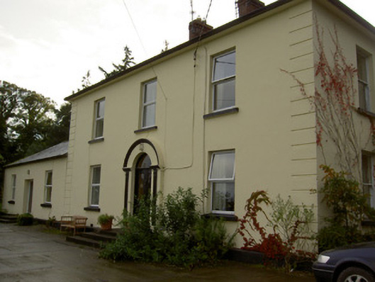 Dromore Househouse · 1262 yd
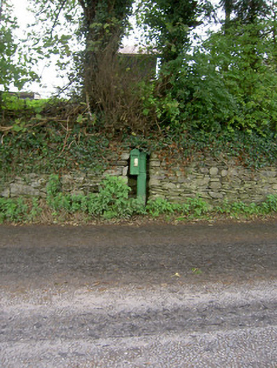 post boxpost box · 1293 yd
 Castle Barrett (in Ruins)Castle, Anglo-Norman masonry castle · 1501 yd
 Castle BarrettCastle · 1506 yd
 Blackwater WayWalking route · 3.2 mi
 Lyradane MountainMountain / peak · 3.5 mi
 Mallow River TrailVisitor information · 3.7 mi
 In loving memory of Elvis O'DonoghueMemorial · 3.7 mi
 Dromaneen CastleHeritage attraction · 4.5 mi
 SeefinMountain / peak · 8.2 mi