What is recorded here
Two broad banks circled thirty metres of northern pasture until ploughs erased them in the 1940s. Maps from 1842 to 1935 still trace the vanished ring, while a hidden passage may remain beneath the grass. The fort lost its visible shape but kept its secret depth.
In pasture, on N-facing slope. Depicted as hachured bivallate circular enclosure (diam. c. 30m) on 1842, 1904 and 1935 OS 6-inch maps. According to local information, had two fine broad banks; levelled c. 1940s. No visible surface trace. Possible Man-made underground passage (8985) in interior.
The above description is derived from the published 'Archaeological Inventory of County Cork. Volume 3: Mid Cork' (Dublin: Stationery Office, 1997). In certain instances the entries have been revised and updated in the light of recent research.
Date of upload/revision: 14 January 2009
The monument record does not grant public access. Check the route and ask the landowner before entering private land.
- What survives
- Recorded monument
Places near here
 Man-made underground passage in ClashmorganMan-made underground passage · 336 yd
 CaveMan-made underground passage · 363 yd
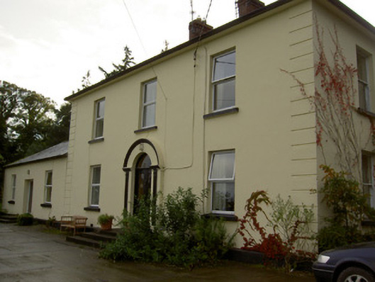 Dromore Househouse · 1180 yd
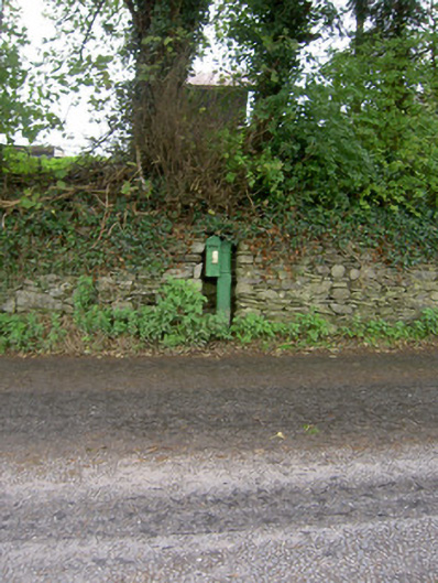 post boxpost box · 1382 yd
 Castle Barrett (in Ruins)Castle, Anglo-Norman masonry castle · 1740 yd
 Castle BarrettCastle · 1744 yd
 Blackwater WayWalking route · 3.1 mi
 Mallow River TrailVisitor information · 3.6 mi
 Lyradane MountainMountain / peak · 3.6 mi
 In loving memory of Elvis O'DonoghueMemorial · 3.6 mi
 Dromaneen CastleHeritage attraction · 4.3 mi
 Bweeng LittleMountain / peak · 5.0 mi