What is recorded here
Fairy forts are not fairy forts. They are human ringforts, misnamed later. Clashganniff was one: a circular embankment on a low ridge in County Limerick, visible enough to map in 1923, then levelled for pasture. The border still shows through grass and weeds, a ghost line in the field.
In pasture, atop low ridge. Monument, depicted as embanked circular enclosure on 1923 OS 6-inch map, has been levelled. However, a roughly circular area (47.2m N-S; 42m E-W) of lighter-coloured grass with a band of weeds and lush grass (Wth 7m) running around edge, indicates location of enclosure in field of pasture.
Compiled by: Denis Power
Date of upload: 26 August 2011
The monument record does not grant public access. Check the route and ask the landowner before entering private land.
- What survives
- Recorded monument
Places near here
 Slab-lined burial in MoigSlab-lined burial · 1139 yd
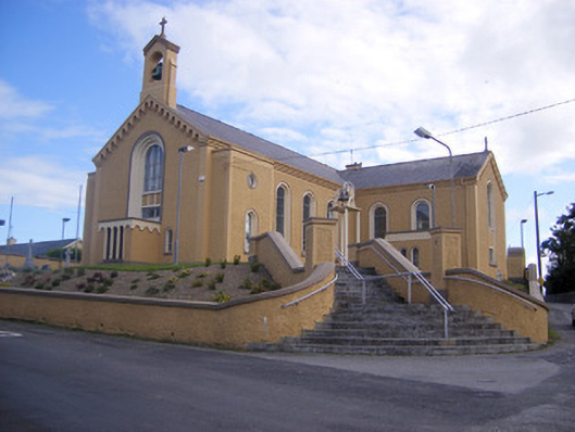 Saint Senan's Catholic Churchchurch/chapel · 1265 yd
 Elm Villehouse · 1461 yd
 Castle (Site of)Castle, unclassified · 1532 yd
 Shanid CastleCastle · 1587 yd
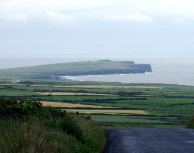 Mound in DooncahaMound · 1694 yd
 Foynes Flying Boat & Maritime MuseumMuseum · 3.7 mi
 Foynes Island ViewpointViewpoint · 3.8 mi
 Monterey CypressMonterey Cypress · 4.0 mi
 St. Luke's WellSpring · 4.0 mi
 Gammarel PointHeadland · 4.1 mi
 Foynes IslandIsland · 4.4 mi