What is recorded here
Clashbredane holds a broken earthen ring beside a farm laneway, preserving half of a fifty-metre circle that people drew on maps before the twentieth century. The surviving bank rises two metres and supports a field fence, turning an ancient boundary into an ordinary local marker. It may have grouped homes, excluded stock or occupied a hillock simply because the shape suited human life. That much is recorded; the rest belongs to imagination.
In pasture, on E side of small hillock. Depicted as hachured circular enclosure (diam. c. 50m) on 1842 and 1904 OS 6-inch maps. Arc formed by earthenbank (int. H 1.8m; ext. H 2.2m) survives N->SE, incorporated into field fence system. Farm laneway runs immediately outside remaining arc.
The above description is derived from the published 'Archaeological Inventory of County Cork. Volume 3: Mid Cork' (Dublin: Stationery Office, 1997). In certain instances the entries have been revised and updated in the light of recent research.
Date of upload/revision: 14 January 2009
A fairy fort or earthen ringfort in Clashbredane, likely dating to the early medieval period, is marked by a surviving arc of an earthen bank, originally part of a circular enclosure. Local tradition associates such sites with fairy lore, and the fort's incorporation into later field systems reflects its long-standing presence in the landscape.
The monument record does not grant public access. Check the route and ask the landowner before entering private land.
- What survives
- Recorded monument
Places near here
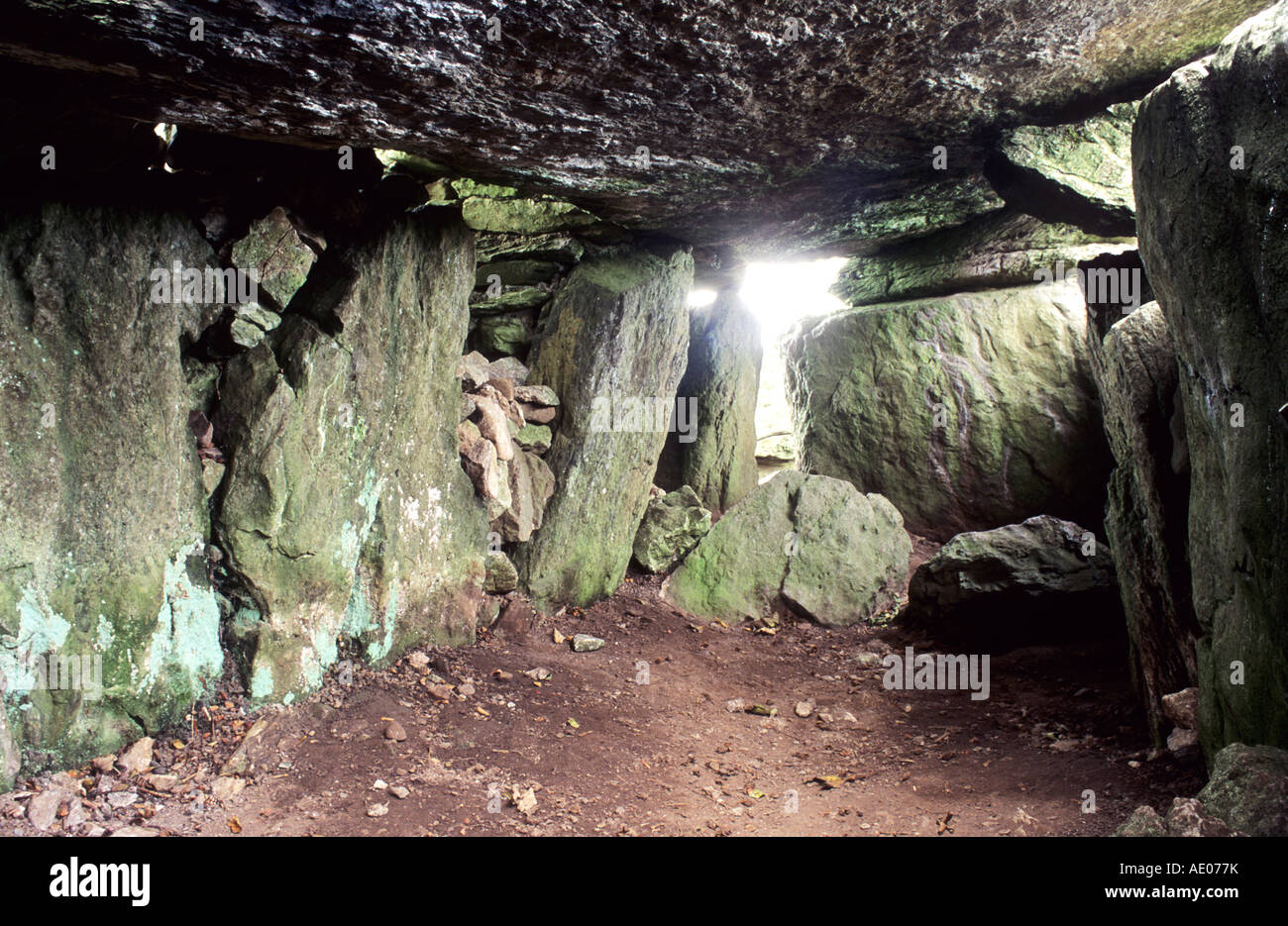 Man-made underground passage in SlieveowenMan-made underground passage · 1031 yd
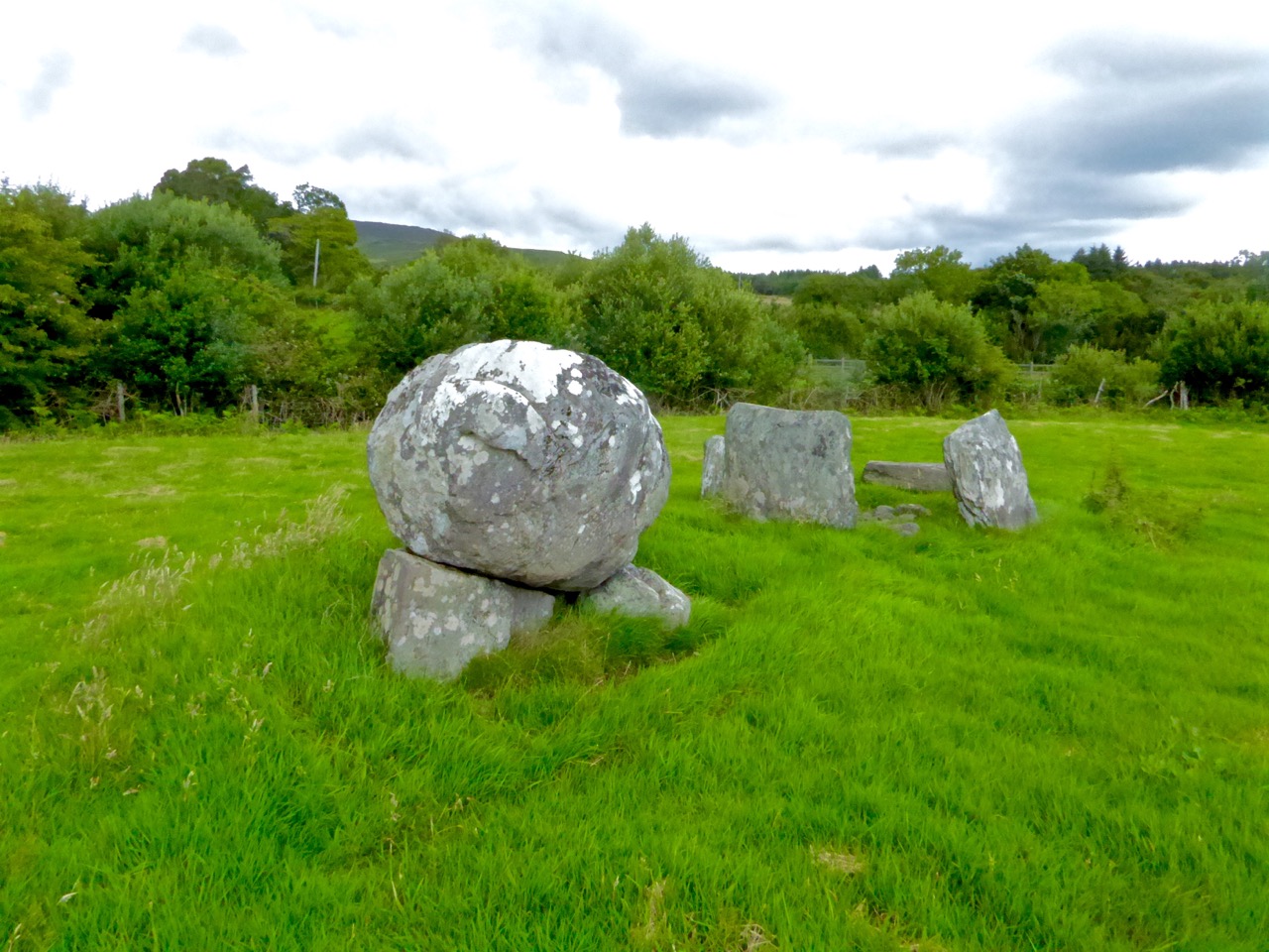 Boulder-burial in ClashbredaneBoulder-burial · 1219 yd
 IndicatedKiln, lime · 1.3 mi
 Carrigboy Castlehouse · 1.5 mi
 Kilmichael Ambush SiteMonument · 2.1 mi
 Kilmichael Ambushambush · 2.1 mi
 OCrowleys Castle (in Ruins)Castle, tower house · 3.1 mi
 Dromcarra Castle (in Ruins)Castle, tower house · 3.4 mi
 Castle RockNamed rock · 3.6 mi
 Green HillMountain / peak · 4.4 mi
 Summerhouse WoodForest · 4.6 mi
 The Gearagh Nature ReserveNature reserve · 4.9 mi